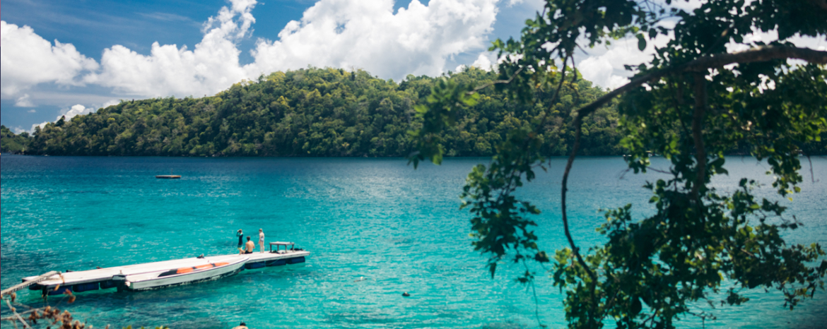
After the Sulawesi ride, the plan was to head to the Indian subcontinent. I had initially considered making a stop in Bangladesh before heading to India. However, that visit had to be postponed after I lost some time due to my accident in Sulawesi.
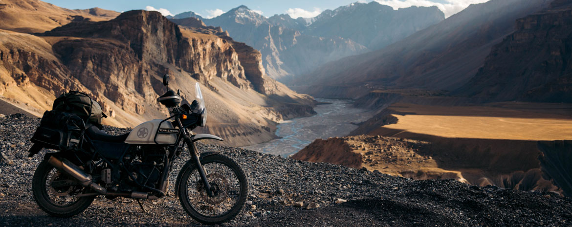
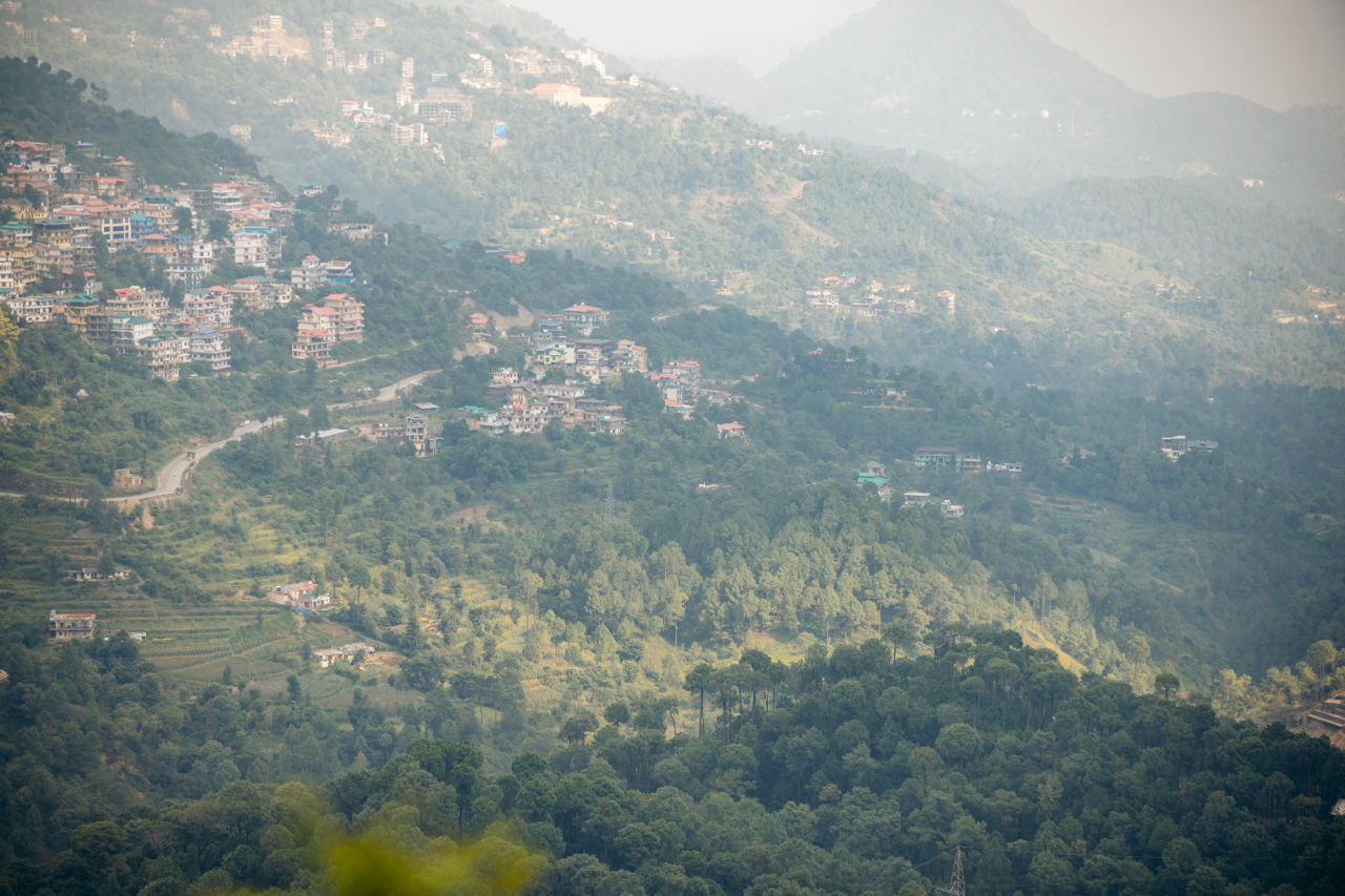
The plan in India was to get a motorcycle and ride through the Himalayas, and then keep going where the wind would send me, which meant dealing with a limited timeframe due to the weather of the Himalayas. So, I had to get there as soon as possible, find a motorcycle, and head north to the mountains.
Sourcing a motorcycle in India is not easy. As a foreigner, you can’t register a motorcycle in your name (although some people claim there’s a loophole for new bikes, but it’s a complicated process). In some other countries, you face similar issues, but locals often don’t transfer the papers, so it’s not a big deal. However, in India, people are unlikely to part with their bike unless it’s officially transferred to the new owner.
This meant I had to find someone willing to leave the motorcycle in their name and allow me to ride it until I could sell it. When it was time to sell, I would need to connect the original seller with the new buyer. I sent about 20 to 25 messages on selling platforms and received only one reply.
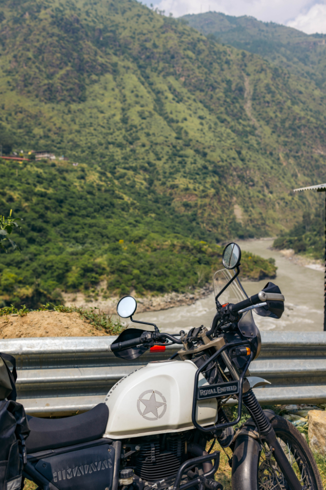
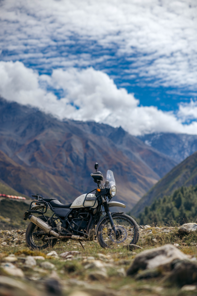
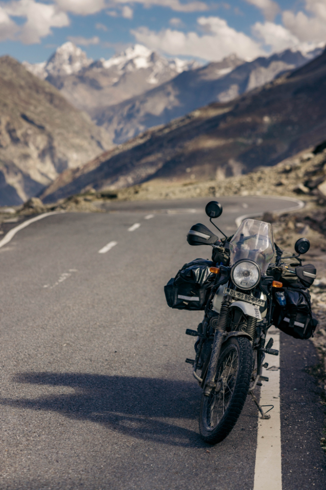
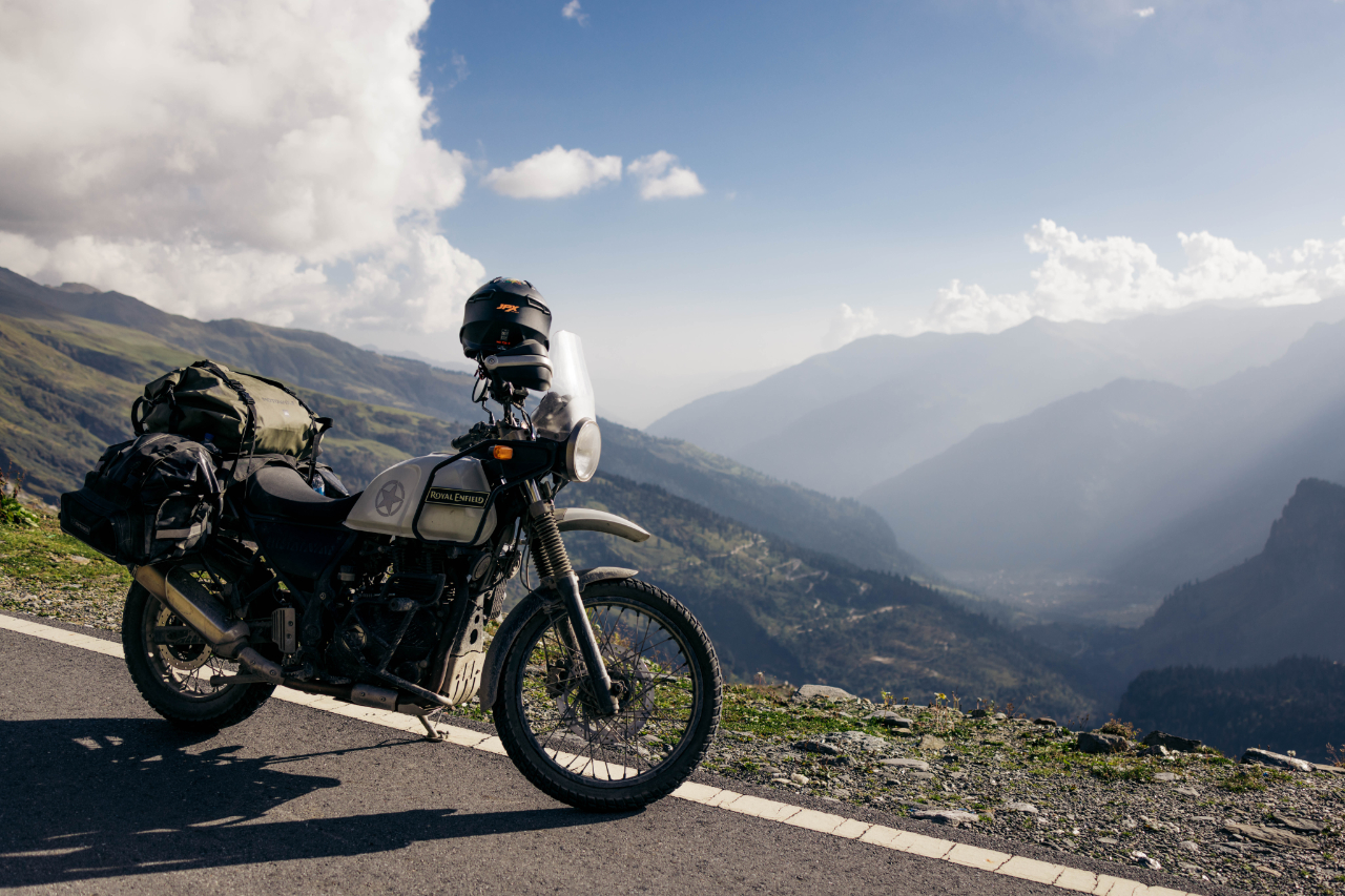
The price was a bit high, but since I was planning to stay in India for about six months, I didn’t mind. Eventually, I ended up getting a 2017 Royal Enfield Himalayan.
The day I got it, it looked like this:
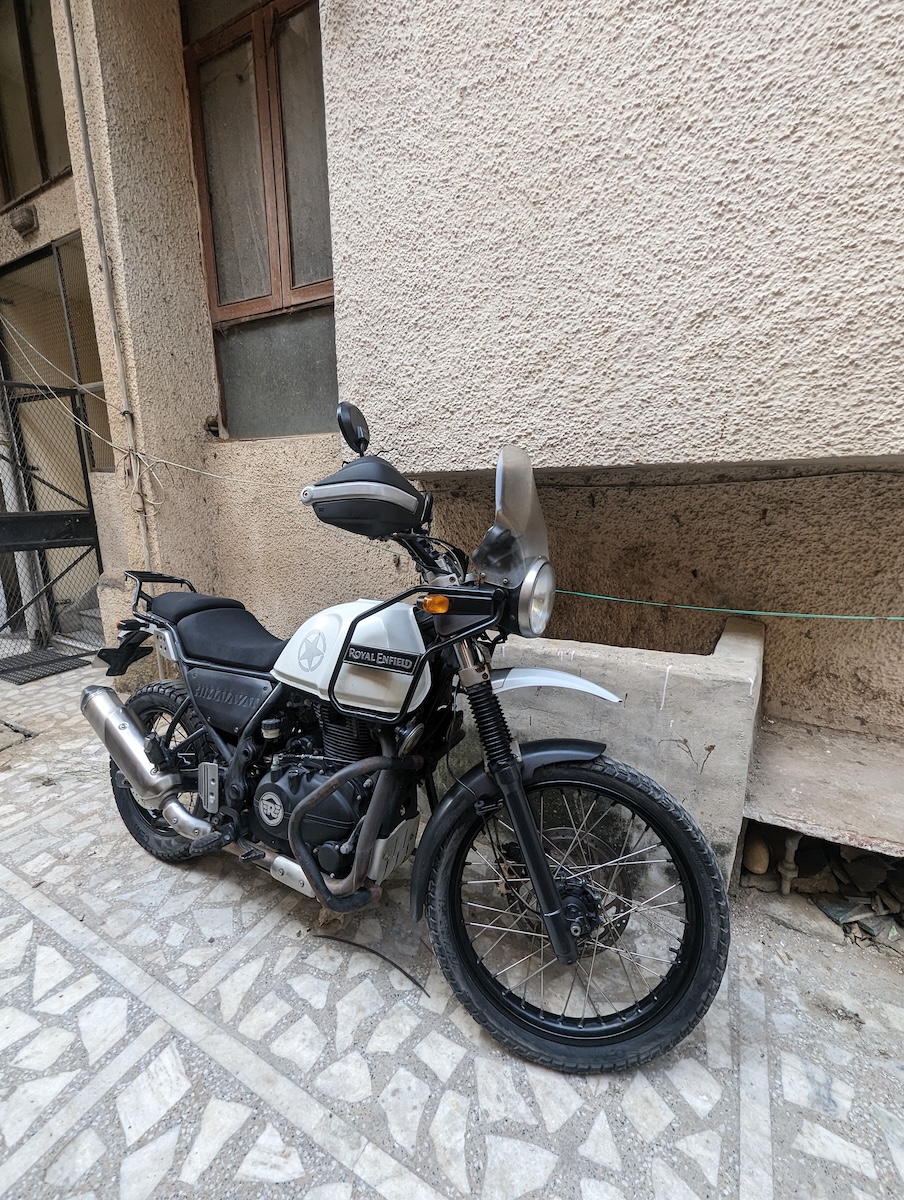
Already added the new touring seat, rear rack and the hand guards, the next day I went to Karol Bagh, the most famous area for motorcycle parts and motorcycles, you can get a motorcycle here but I heard too many horror stories to buy a used motorcycle here.
Planning to stay there 6 months in India riding this motorcycle, I decided to get all I needed for a safe and reliable trip.
Tires and inner tubes
Side racks and saddle bags
More protective crash bars
Windshield
Mirrors
After this, I visited a Royal Enfield center because I felt the front suspension and handlebar wasn’t behaving normally. Things escalated quickly.
They recommended changing a lot of stuff, which I did, the seller did help me to pay this bill.
Clutch Assembly
Clutch Cable
Front Disk Brake
Front Master Cylinder
Front Pads
Original Handlebar
Headset Bearing
Tool kit
Oil Change
Brake oil
After this, the bike felt fantastic, and I was ready to hit the road.
Here’s the map for part 1 of this trip in India.

After all this, I was finally ready to go, it actually only took 4 days to do all this.
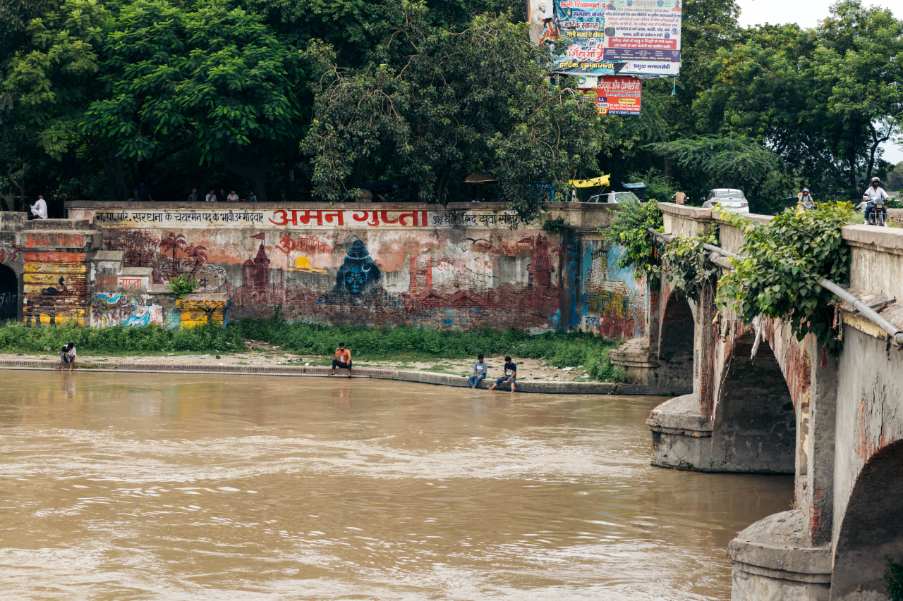
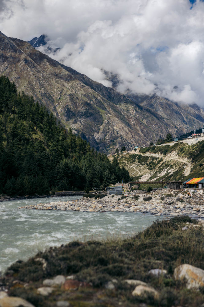
My first ride was getting out of Delhi and end up in Rishikesh.
I met a guy at the Royal Enfield dealer who recommended me to follow this river/canal, small, quiet (for India) road.

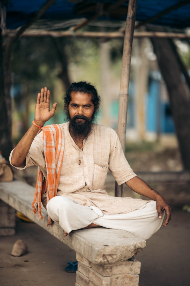
A little chai stop, the first of many in India, especially because coffee is not very present in the culture. This is the chai master.

Another customer chilling at the chai spot.
I reached Rishikesh after sunset, in a bit of rain. The next day I woke up to more rain and decided I wouldn’t stay and visit Rishikesh, for one, the weather wasn’t good but also, as I said before, I was racing against time to visit the Himalayan mountains.
I kept going to the next town, Dehradun, I had to get some warm gear for the mountains. Good thing they have decathlon in India.

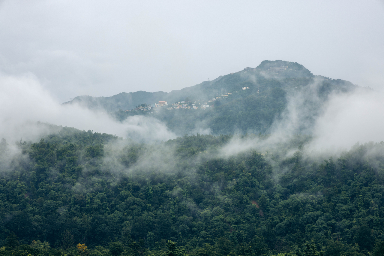
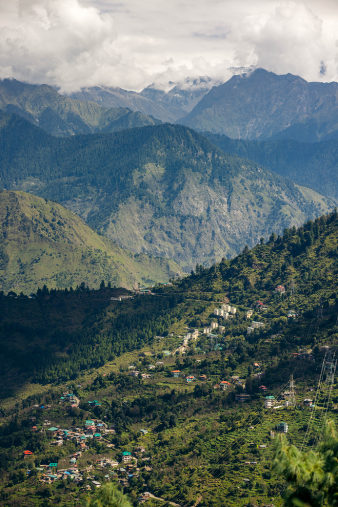
The next day I was ready to head up to Shimla, at about 2300 meters you’re really getting in the foothills of the Himalayas
Here are some photos along the way.

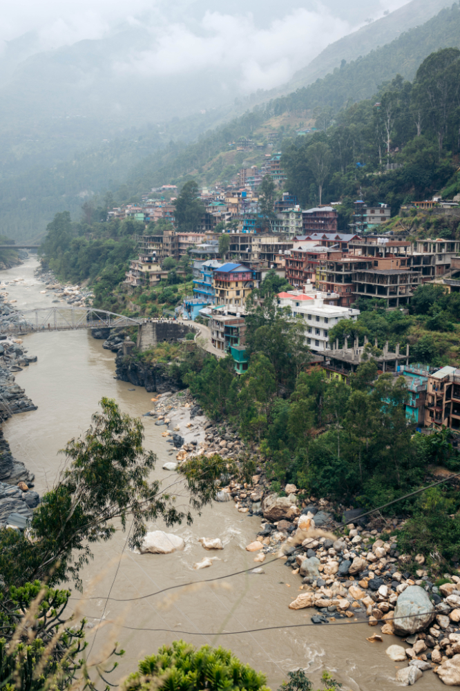
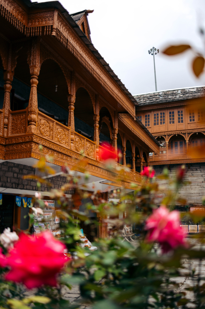
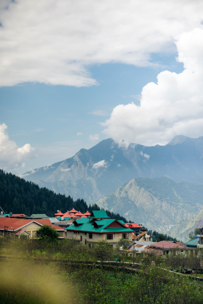
Shimla was the first multiple night stop.
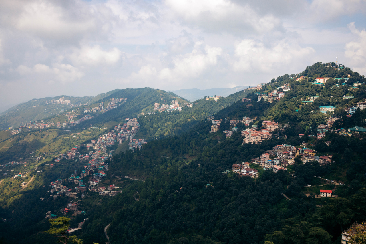


This felt very different from the India I knew to this point. Shimla was the very popular during colonial times for the government officials as a retreat, mostly because of the weather, which was much cooler than Delhi but very pleasant.
You can see the city center is very influenced by the English colonial time.


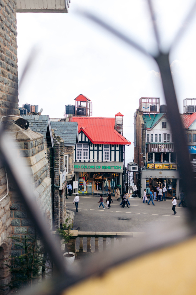
Cars are not allowed in the city center, even to deliver a fridge.

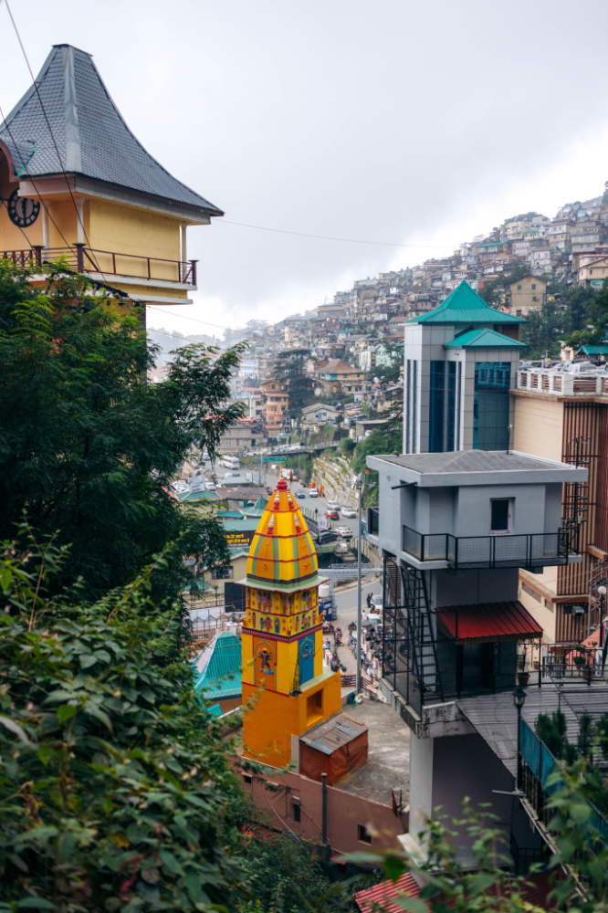
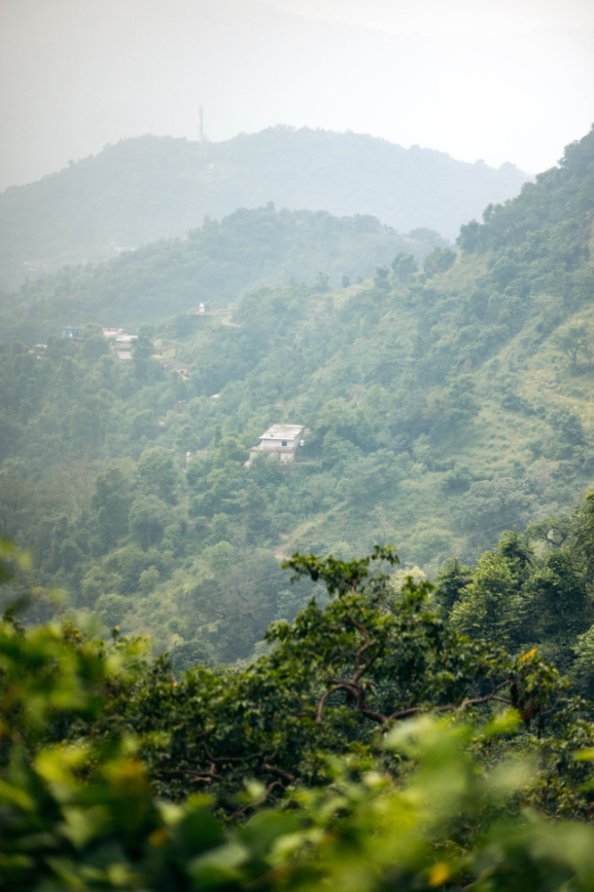
I was staying about 10 minutes out of the center and life there was much different, here’s some scenes from that area.


My next stop was just for sleeping in Rampur Bushahr.
After I left the hotel in Rampur Bushahr I was told about a big landslide about 30km ahead.
I looked up the map for a spot I could stay that was more entertaining than Rampur Bushahr.
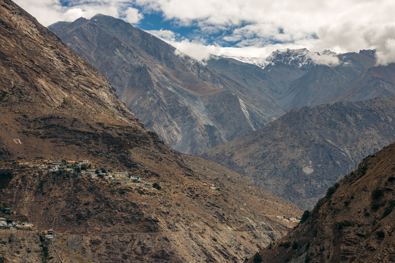
I ended up in a small town named Sarahan. I was “stuck” there for 3 days, but it was actually a very nice area. I can imagine there are so many other places like this I skipped, but you can’t see everything, especially when you are in a rush to avoid the cold weather of the Himalayas.
The main attraction in this town is a temple, Bhimakali temple.

But the nature around was really nice also.


Landslide scars, landslides in this region of the world are very common and deadly.

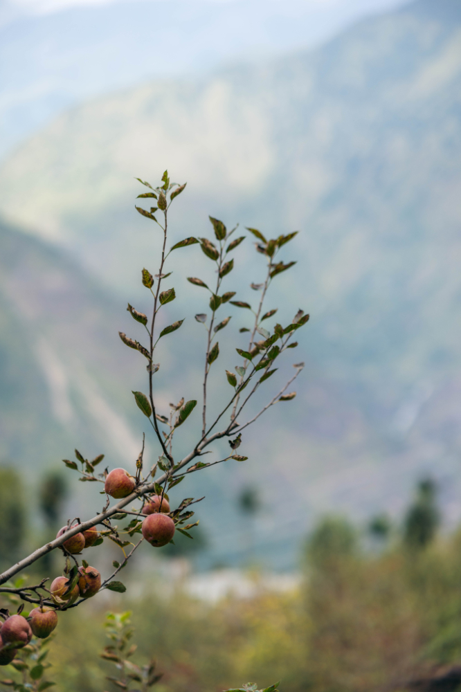
The apple is a staple crop in this whole province, harvest season was ending, you see dozen of trucks driving around full with apples.

Heading back into town, I came across these two kids, very cute encounter.
I was trying to have them smile for the photo but they didn’t understand my hand gesture and just did the same with their hands.
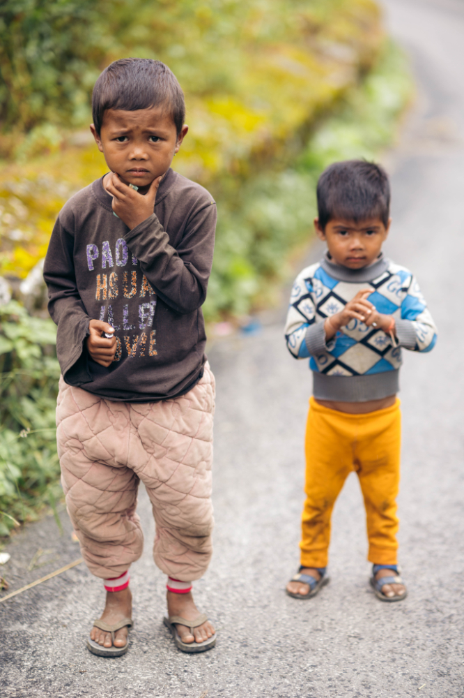
I don’t think many would guess this is India if someone showed them this photo.
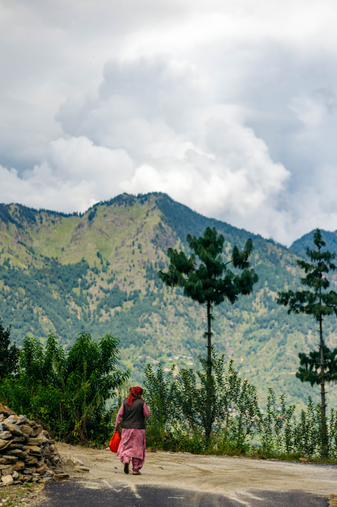
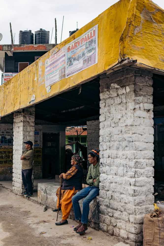
The town is very slow paced.
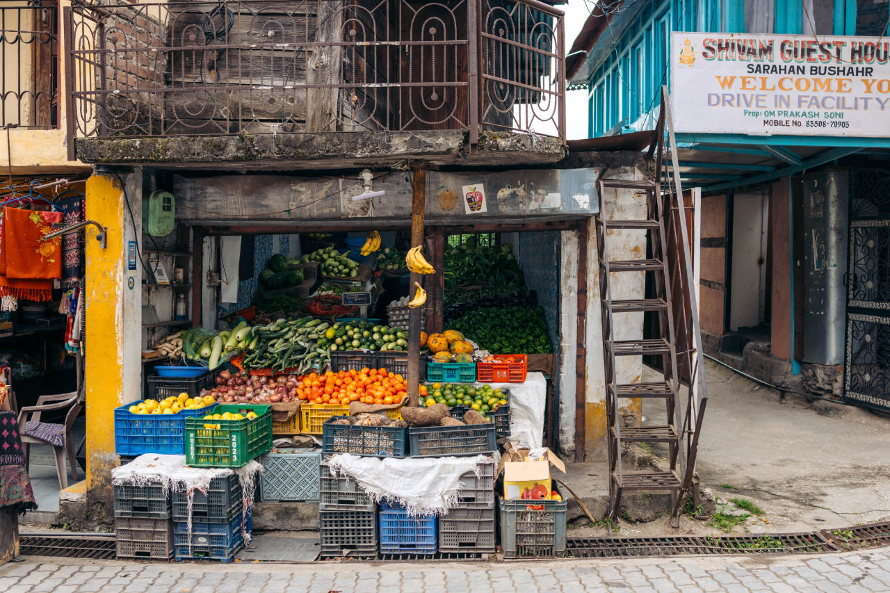

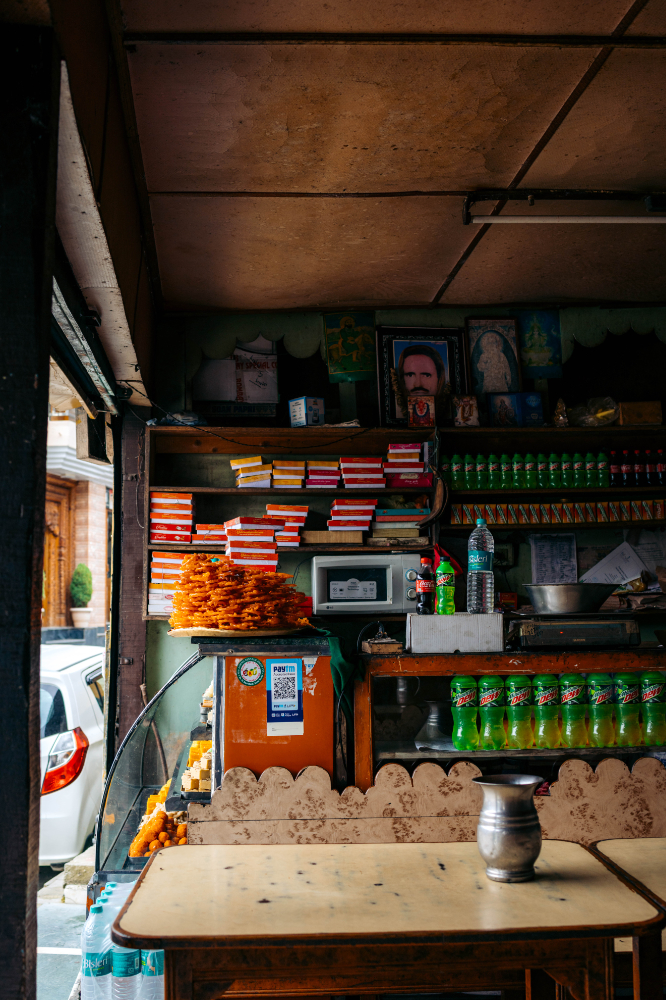
Sweet shop

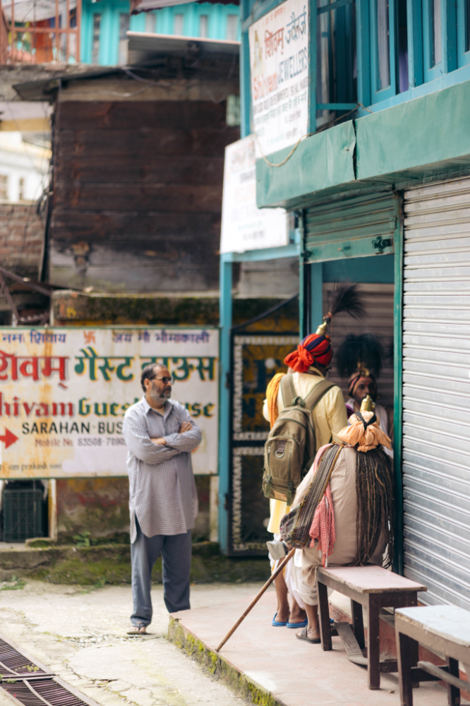
These “religious/spiritual” people were blessing a shop, but always in exchange of money, the “leader” (not pictured) also asked me for money to take their photo. This is a theme that will come back again and again in India, sounds more like a scam than a spiritual journey for them.


An amazing sunset over the mountains around Sarahan.

If you ever find yourself in this town, this homestay had an epic view (That sunset photo was taken from the balcony of the room), good price, friendly staff/owner and clean.
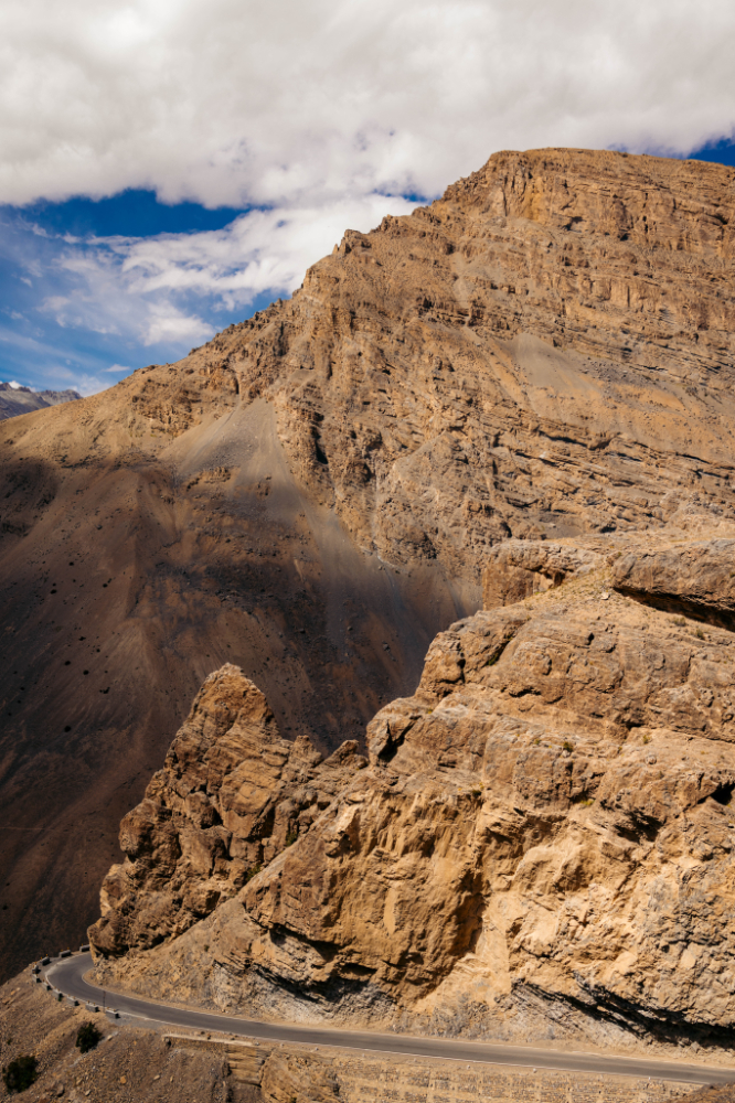
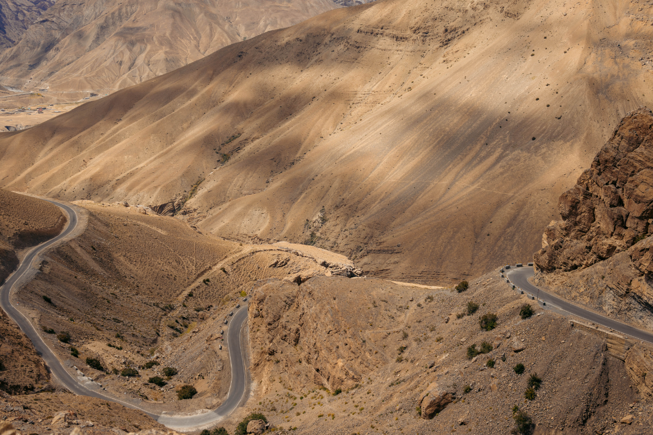
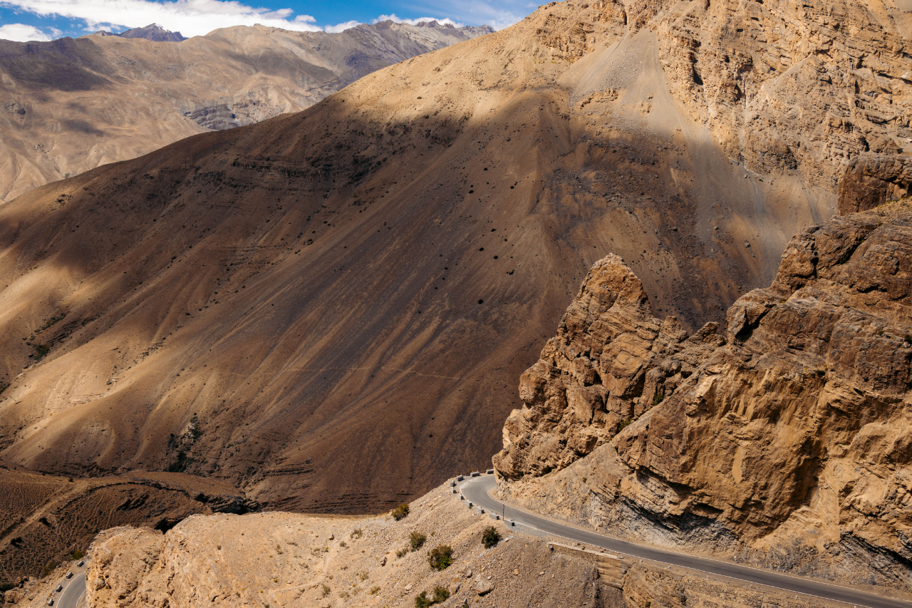
After the second night there I heard the road was opened, but I decided to stay an extra night, and the next day I left towards Sangla, my next stop.
The road was technically open, but the conditions were horrible. It took me 4 hours to ride about 5km. A lot of waiting.
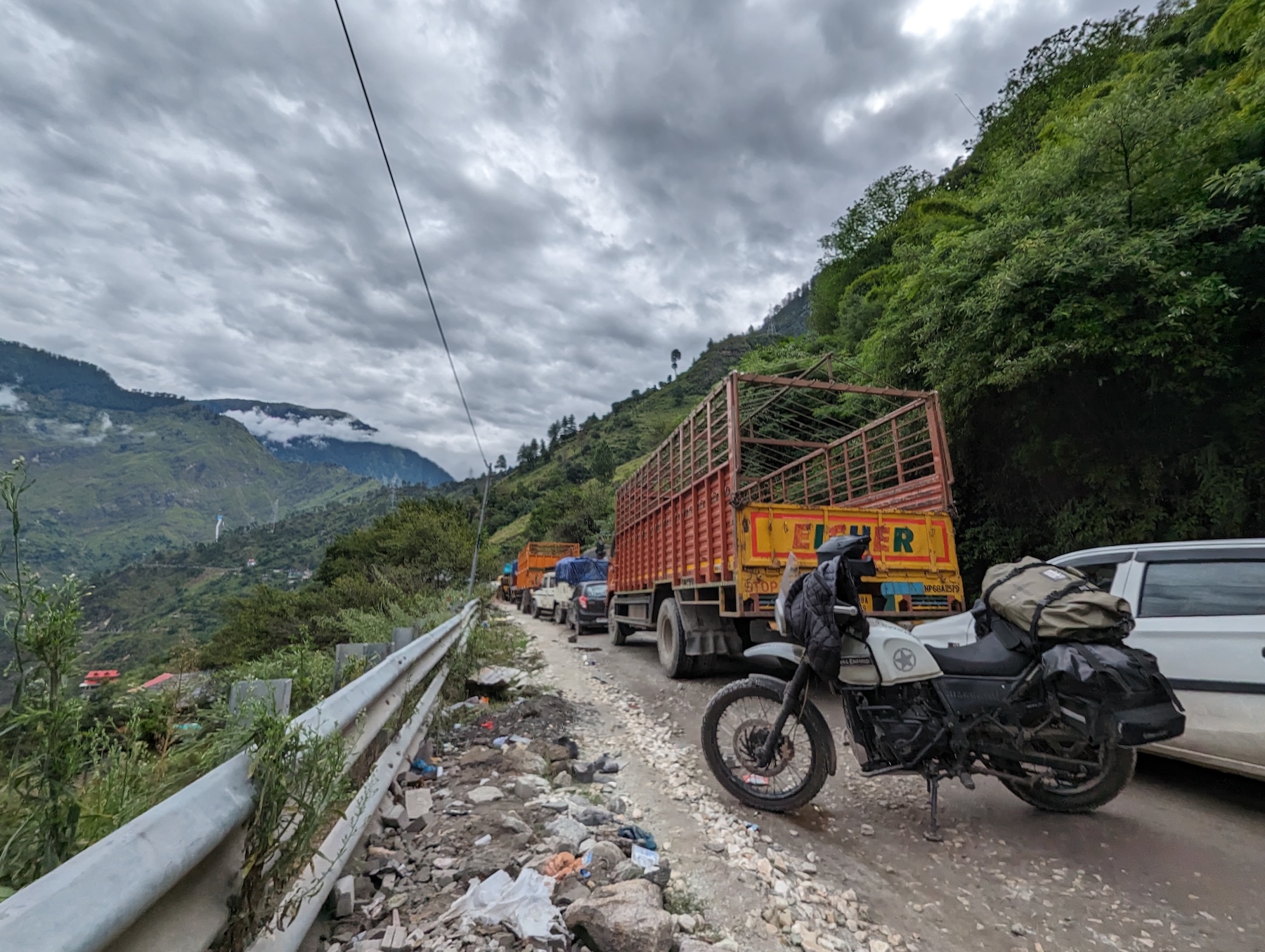
Here’s a bad cellphone photo of the patch of mountain that slid on the road.

This was quite the ordeal, but that’s the only landslide that really slowed me down on this whole trip, so that’s not so bad in this part of the world.
After 3-4 more hours, I made it Sangla. I just stayed in and took a rest in the evening.
The next day I rode from Sangla to Chitkul, the last village in India before the Indo-Tibetan border. This area is located at about 3400 meters above sea level.
Amazing landscape around here.

Made it to Chiktul

Unreal location. You can also sleep around here, near the river.
On the way back to Sangla, where I picked up my stuff and kept riding to even higher grounds.

Made a stop in Kapla, looks like a very beautiful spot but again, time is limited, so I just slept there and left the next morning. Still took some images from the roof of my homestay.

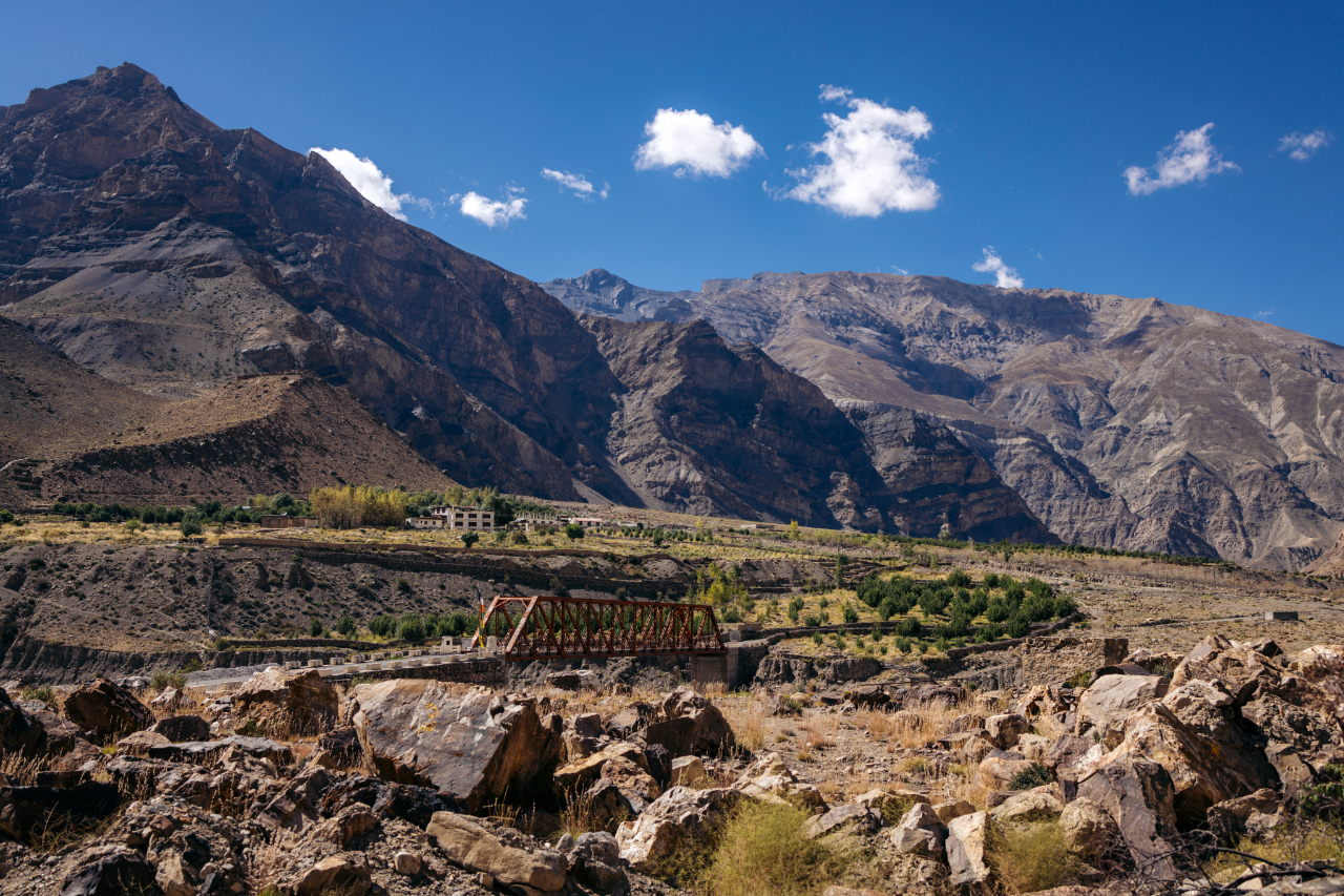
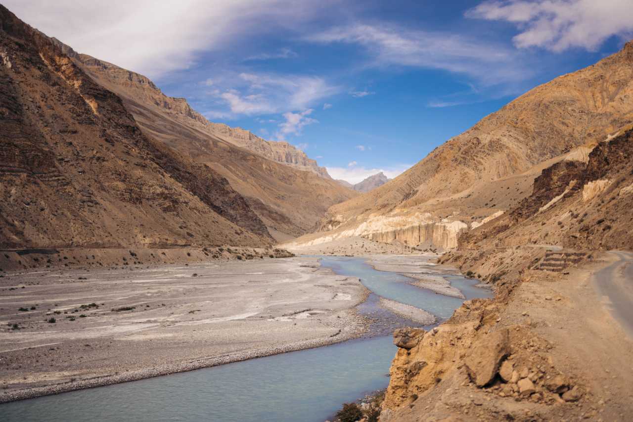
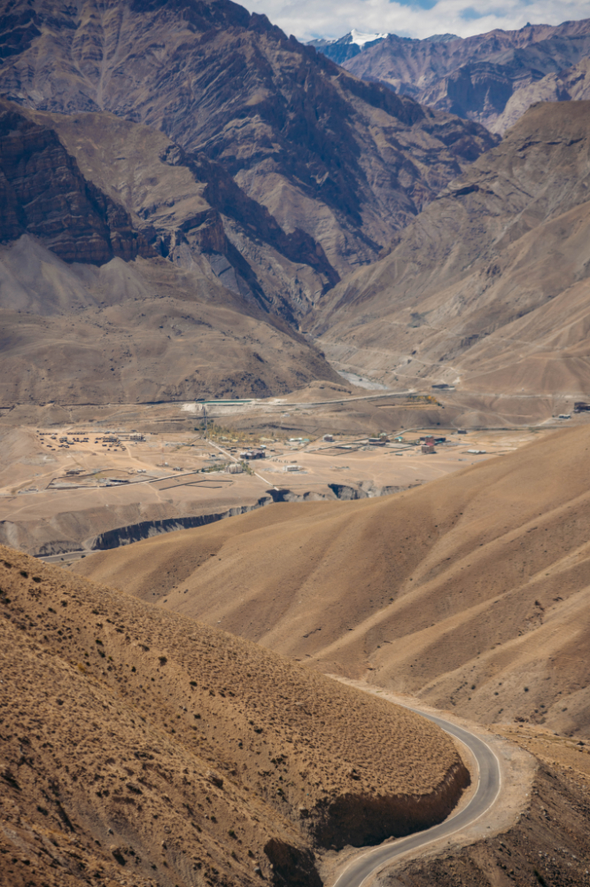
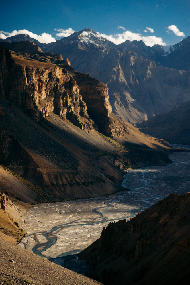
The next day I was heading into the Spiti valley, the first destination I really wanted to reach, the Spiti valley begins at the confluence of the Sutlej and the Spiti rivers, which is about 30 minutes after the town of Pooh.
To enter this area you need a permit, which I didn’t have, but you can sort it all in the town of Pooh, so I had to turn back about 15 minutes to go back to Pooh. I’d recommend doing it before reaching Pooh, for example in Shimla. The process was pretty smooth in Pooh but I still “wasted” about 3 hours for the whole process.
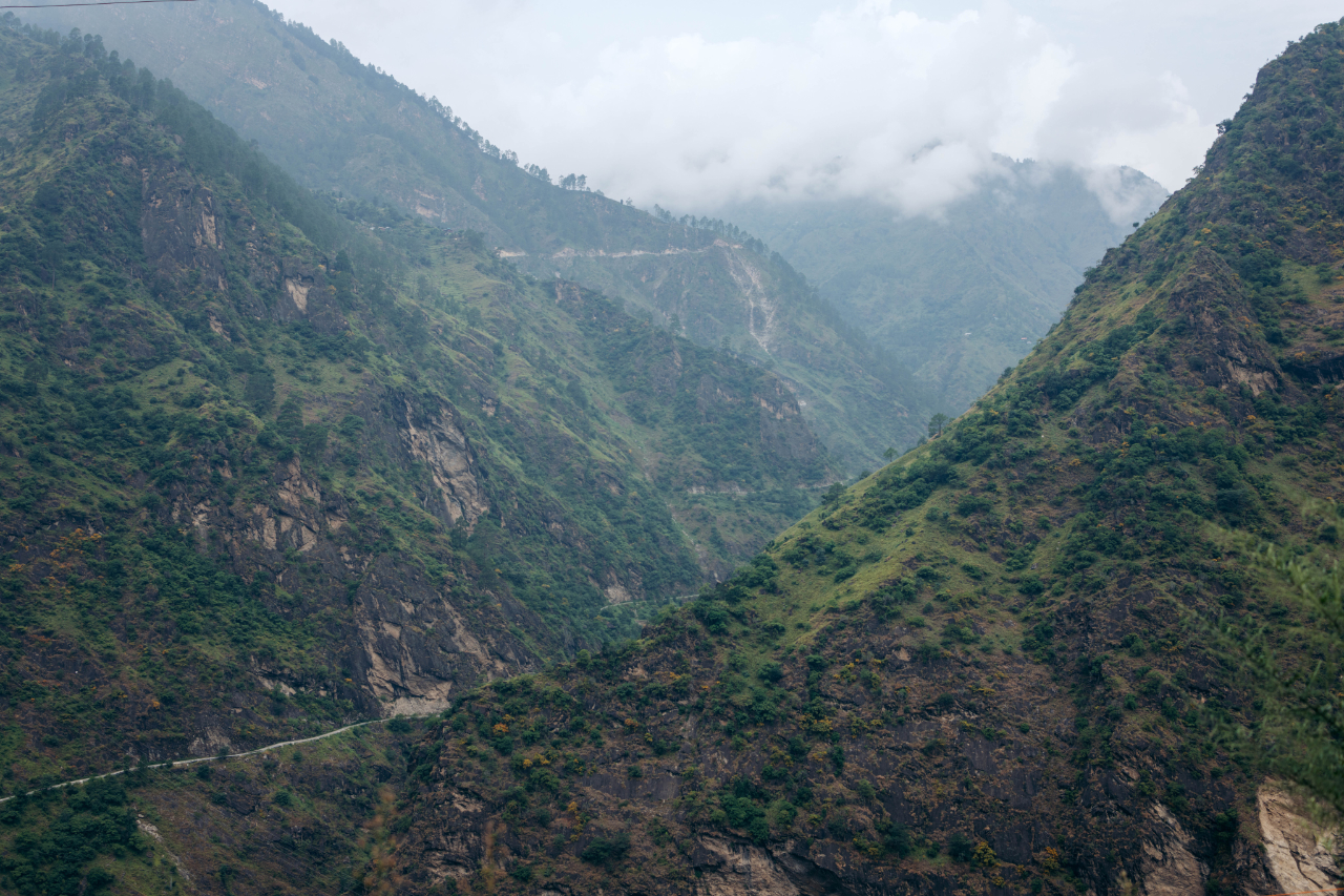
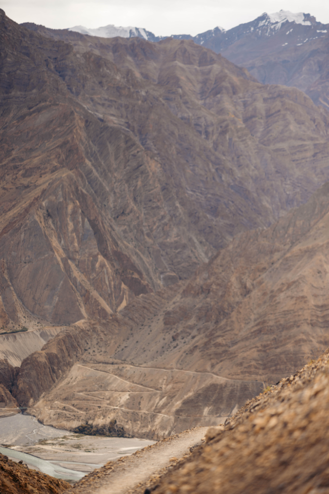
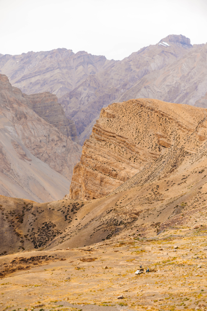
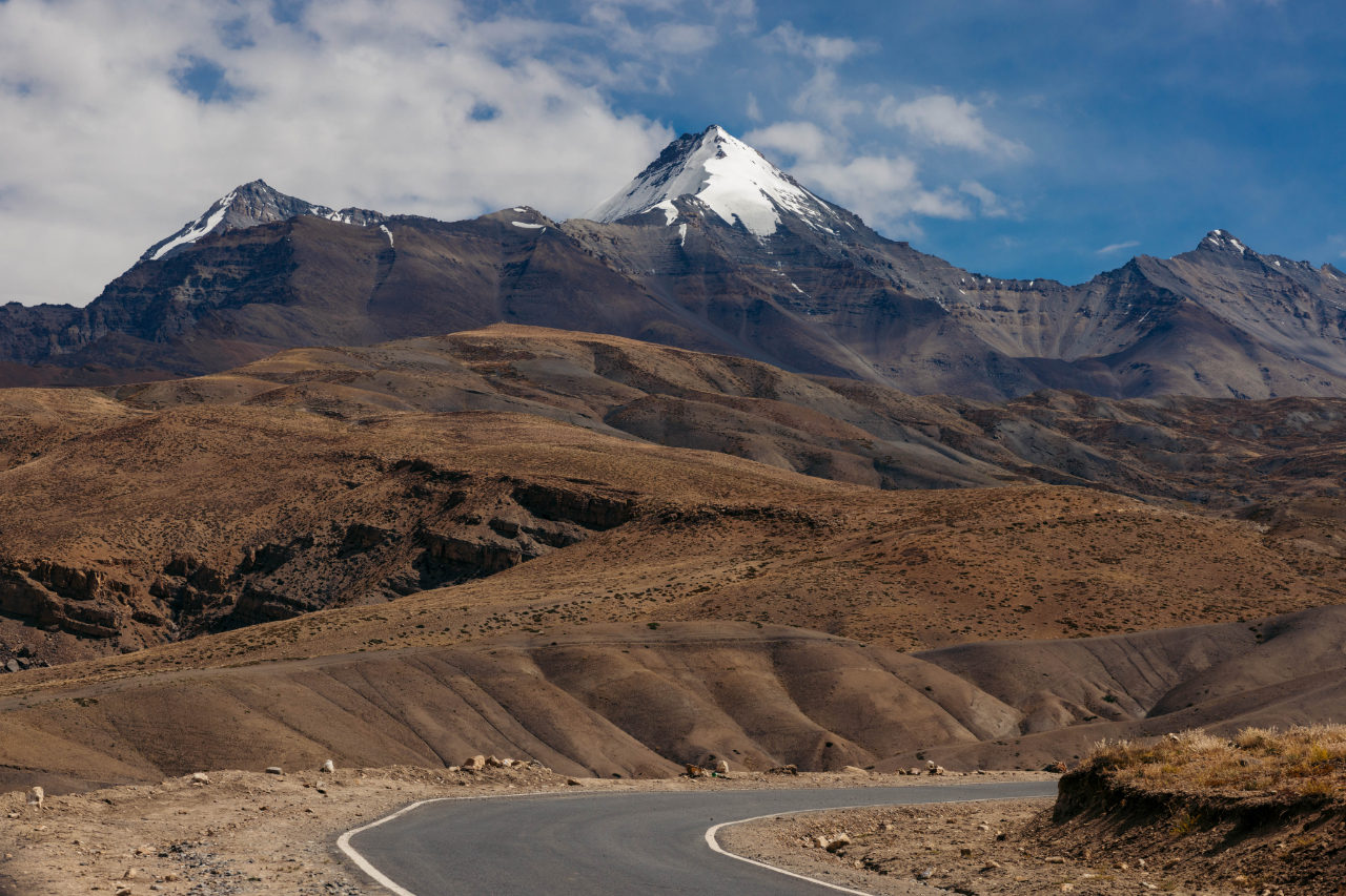
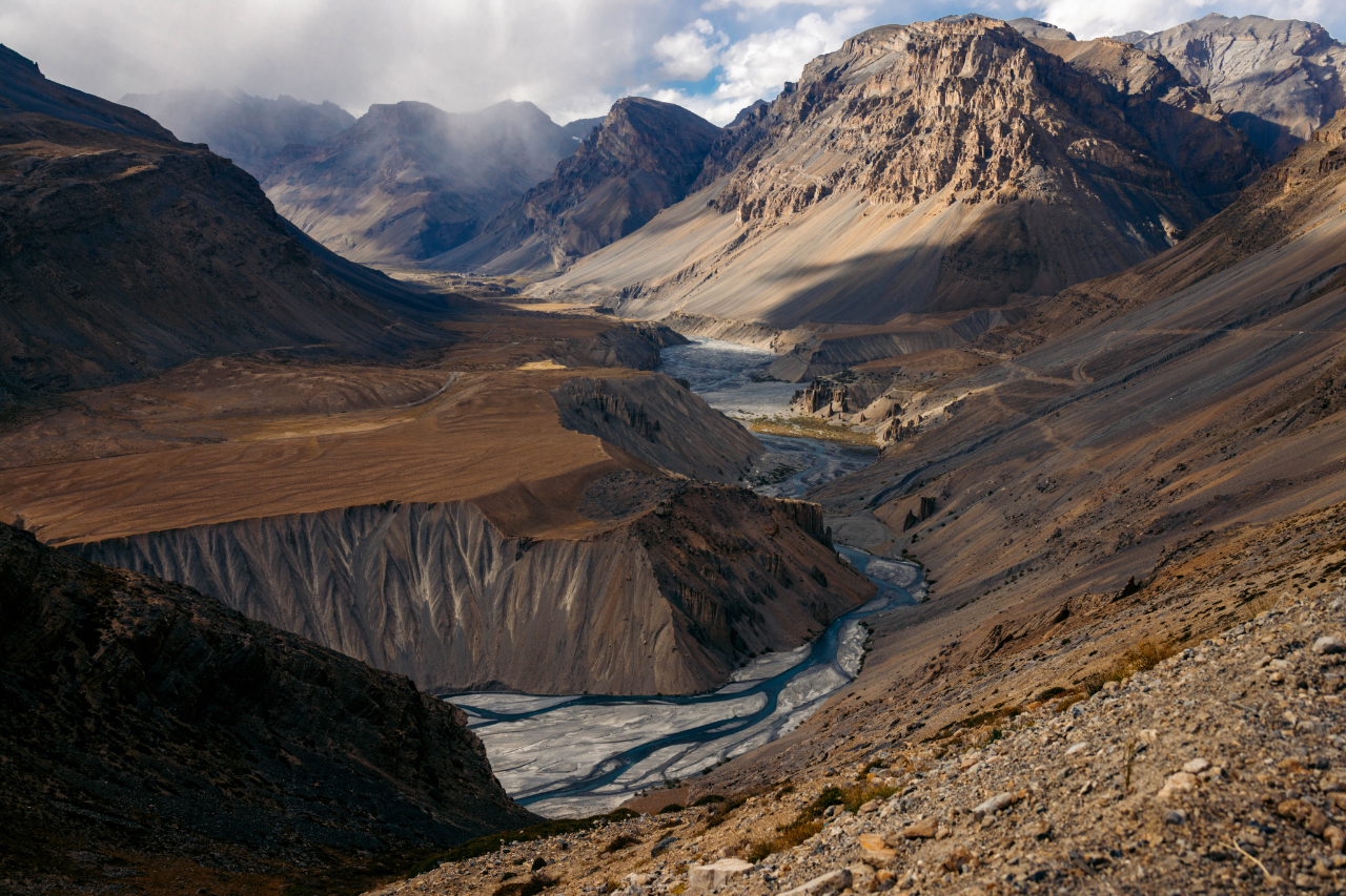
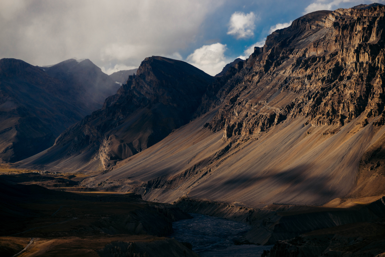
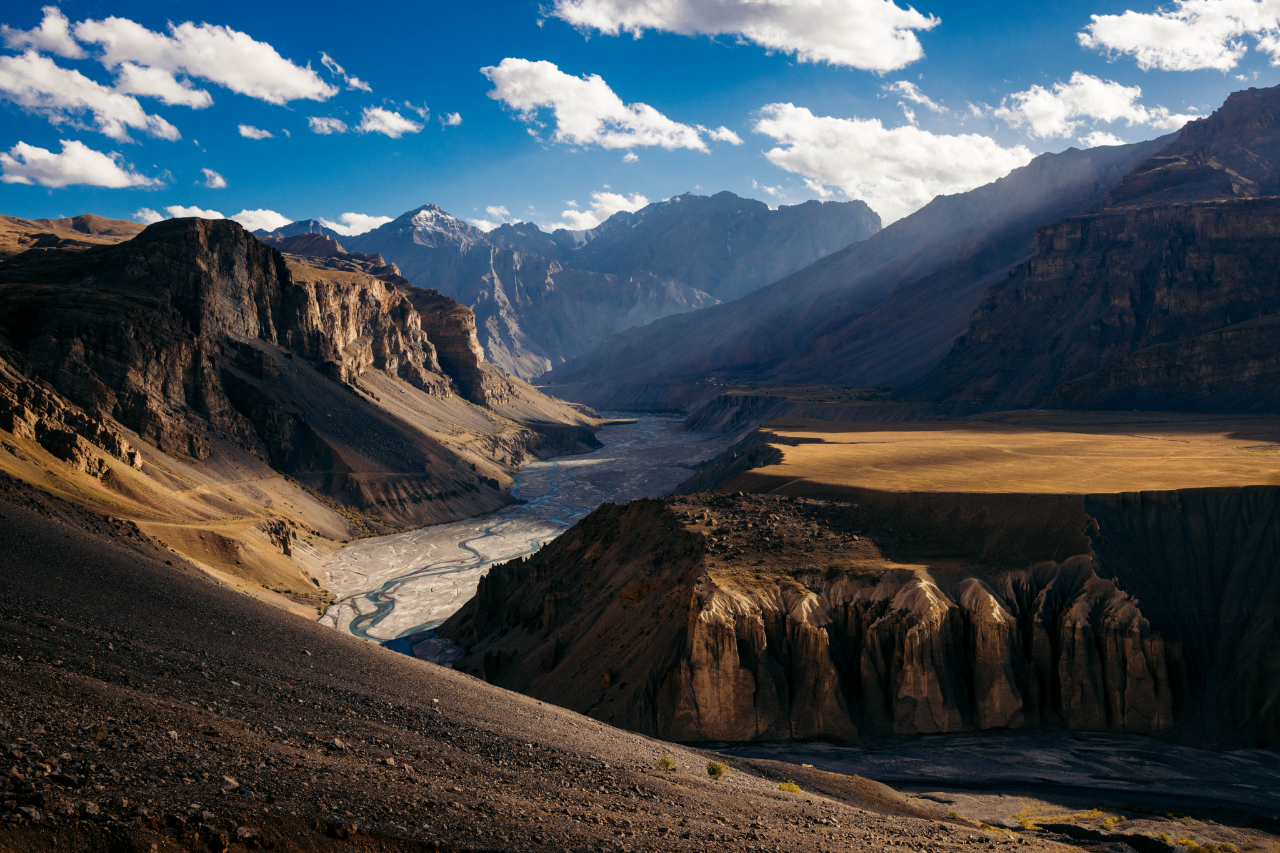
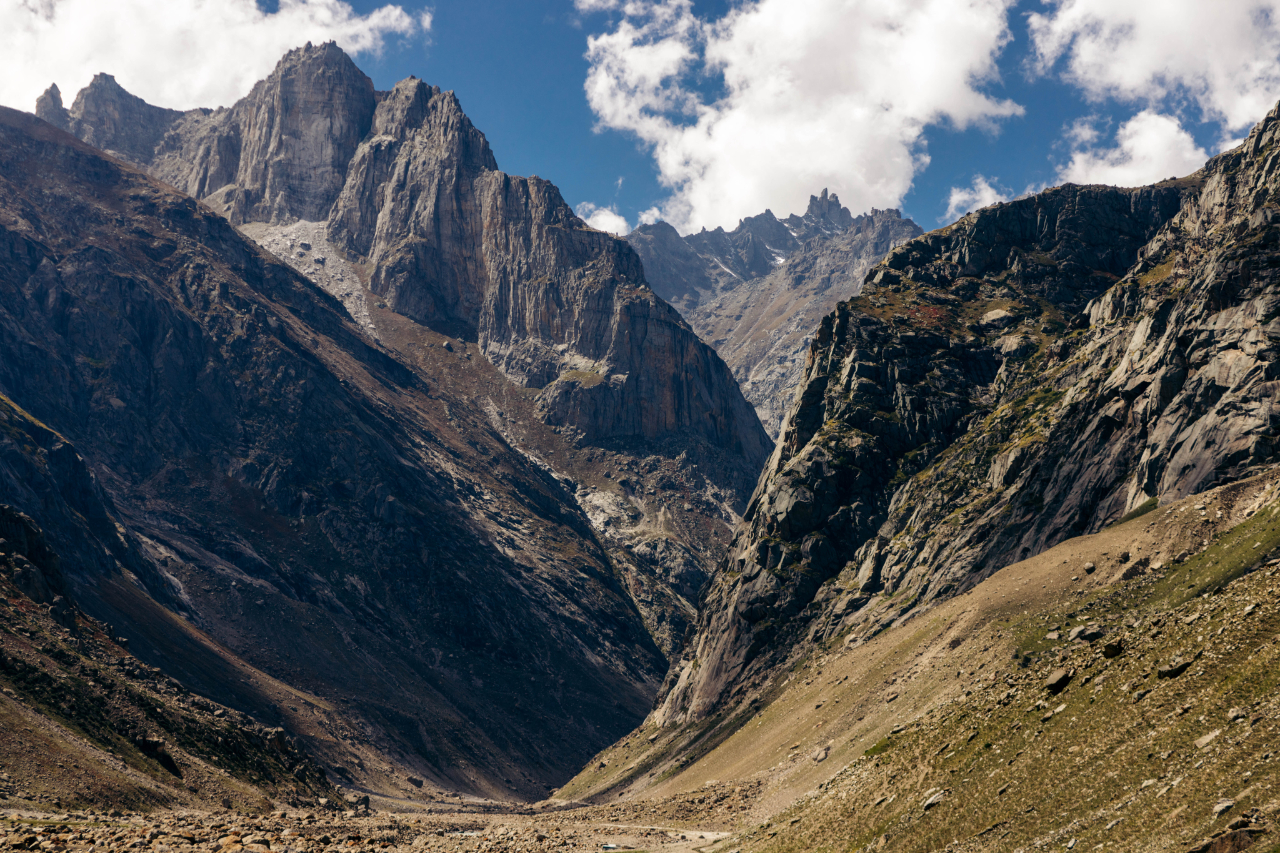
The landscape gets very arid around here.
Made it to the confluence of the Spiti and Sutlej rivers, where you’ll cross the Khab Sangam bridge.
It was a long day going from Kalpa to Tabo, with the permit issue and all the photography stops.
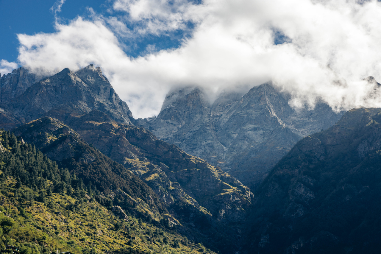
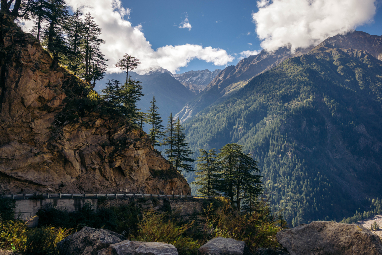
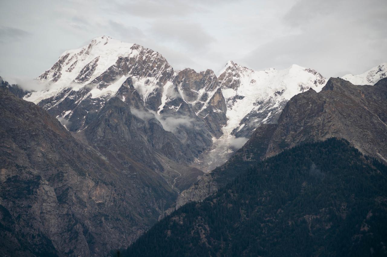
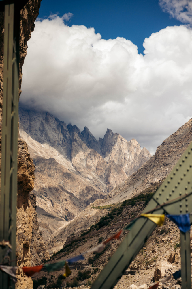
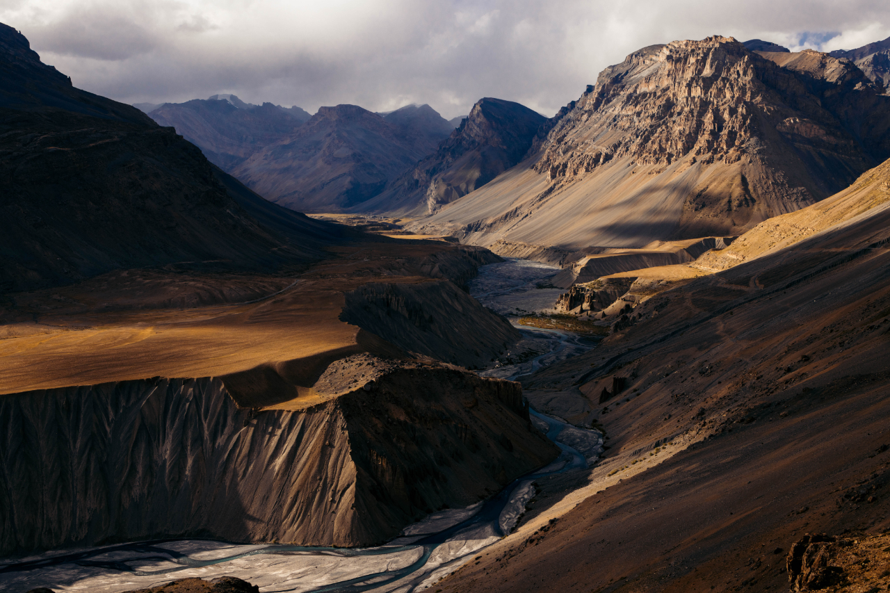
At this point, the landscape is stunning, and it’s hard not to stop every 5km to take photos.

People still find a way to grow food in this environment.

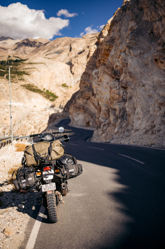
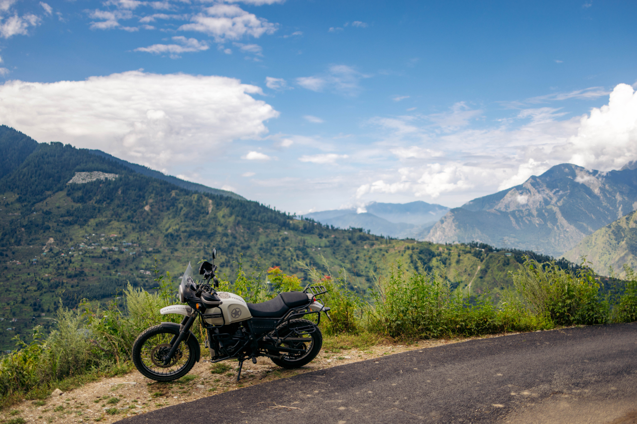
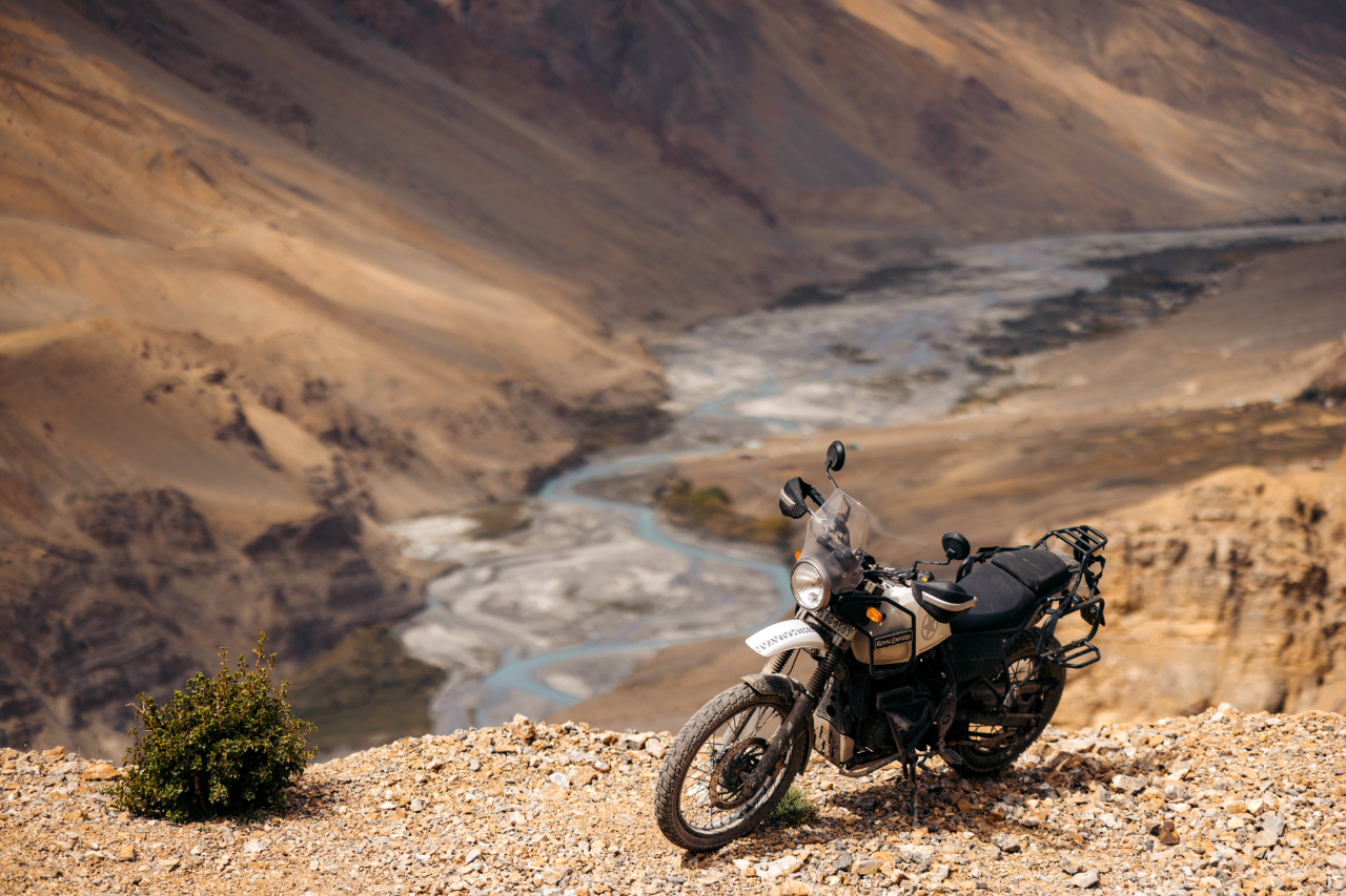
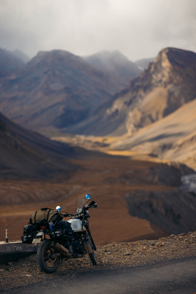
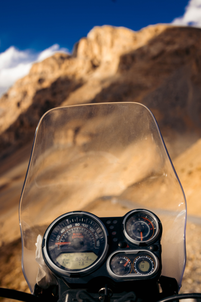
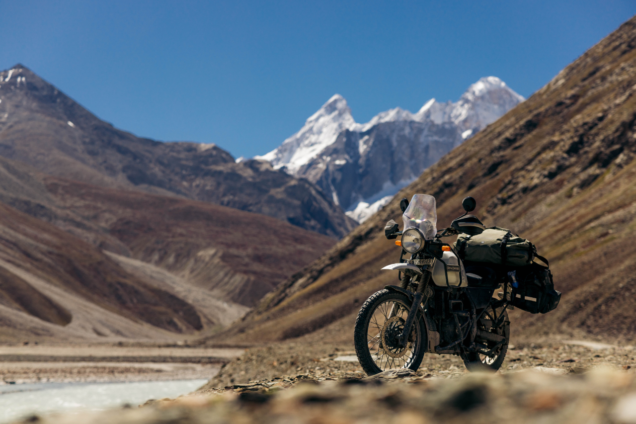
Really enjoying riding this bike around these parts.

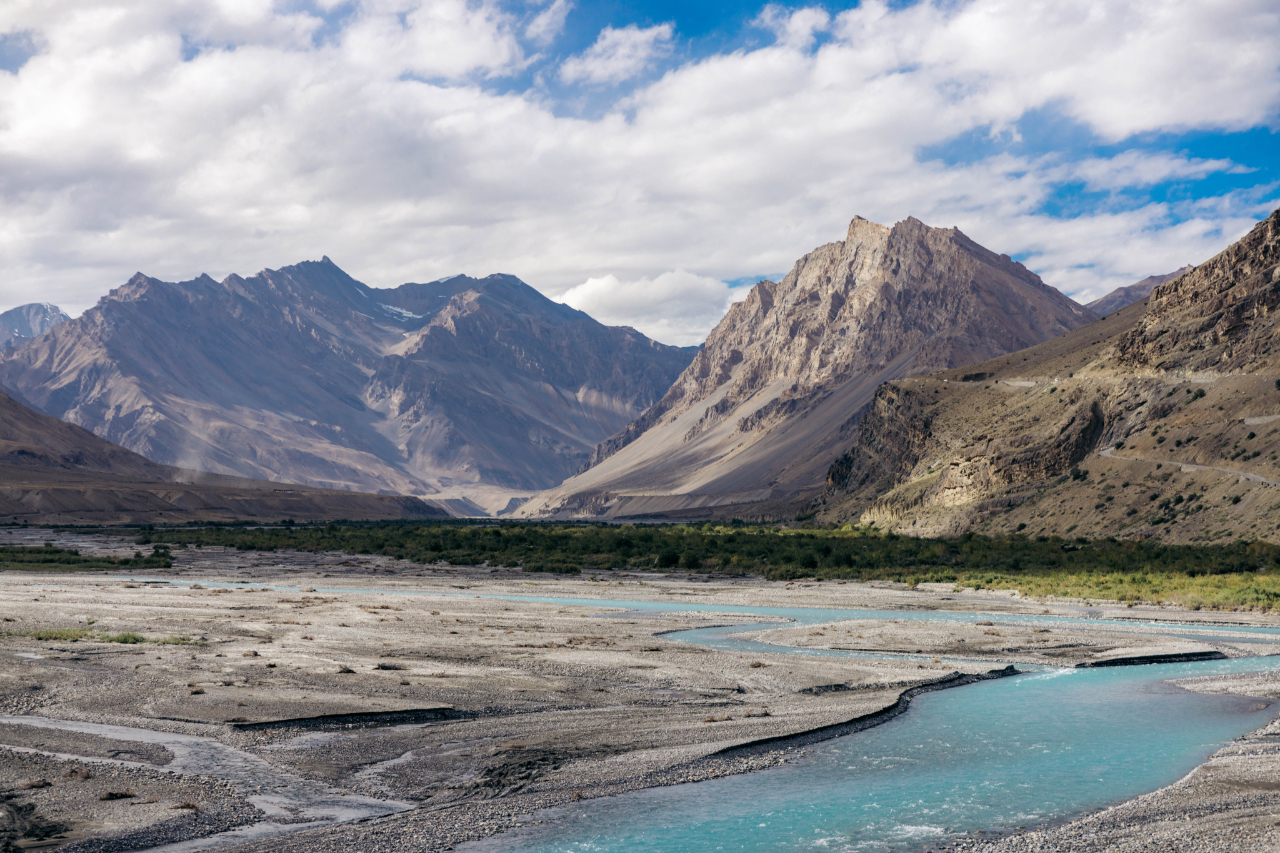
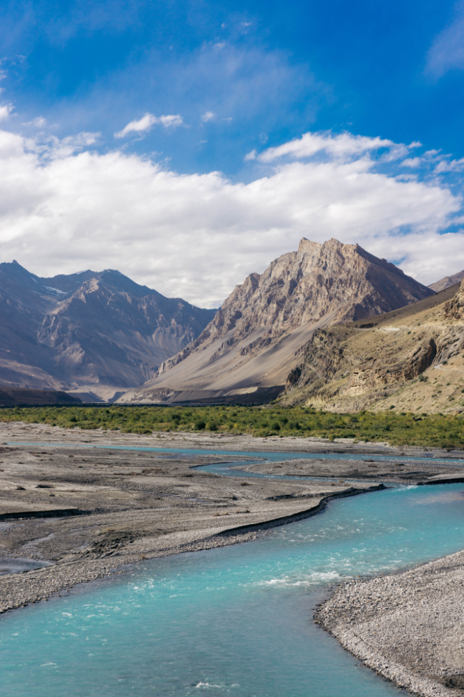
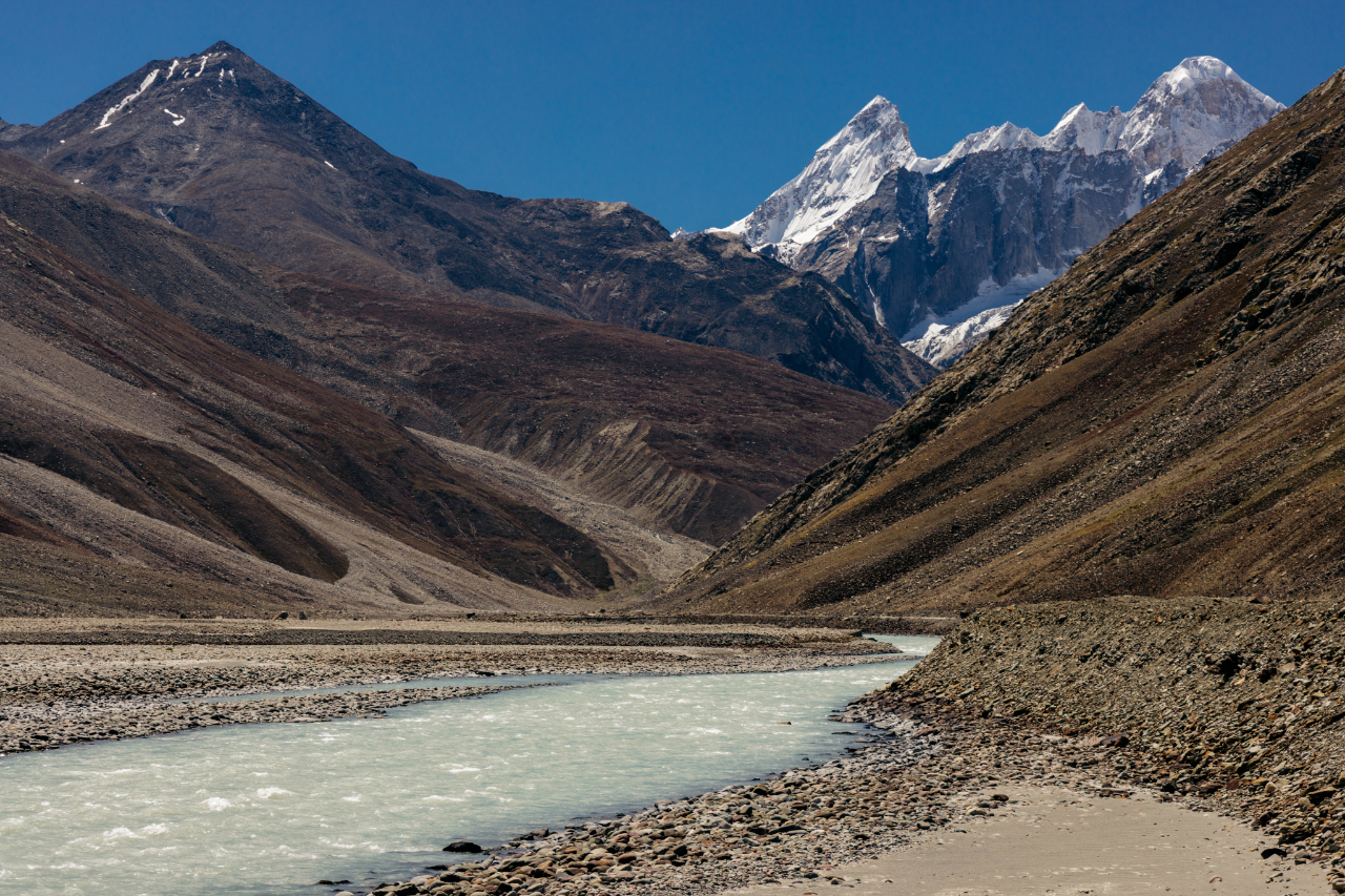
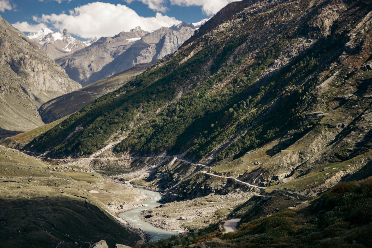
The Spiti river.
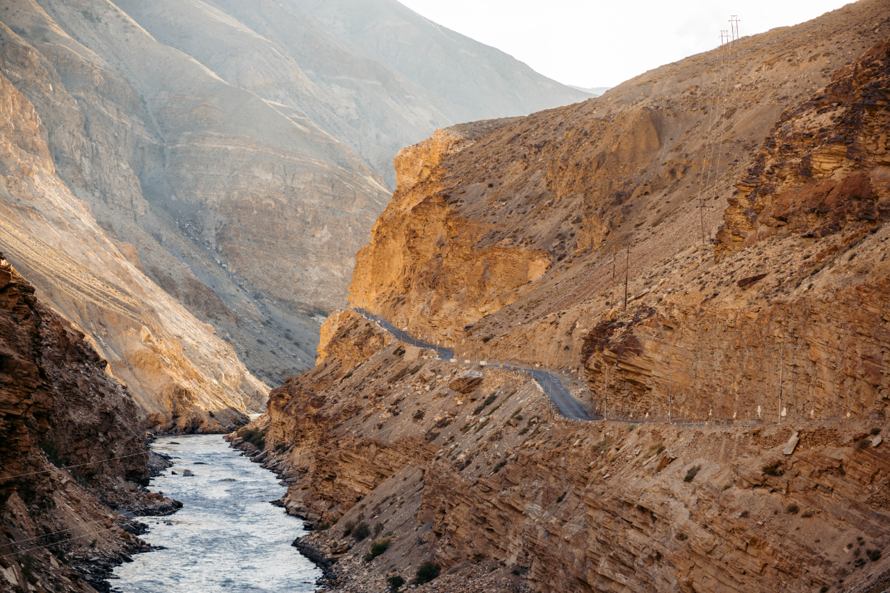


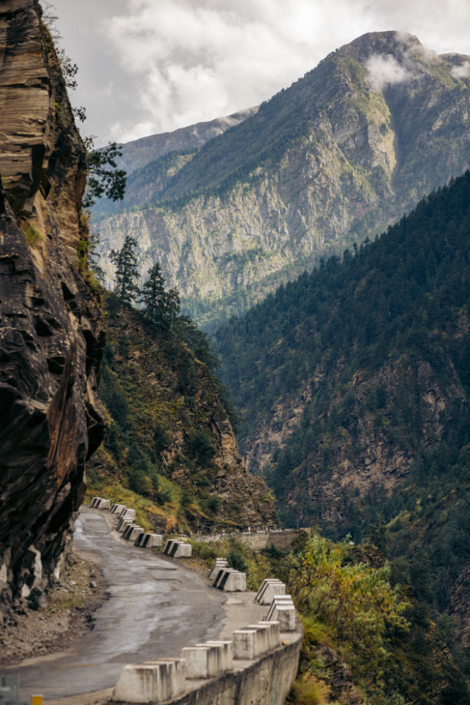
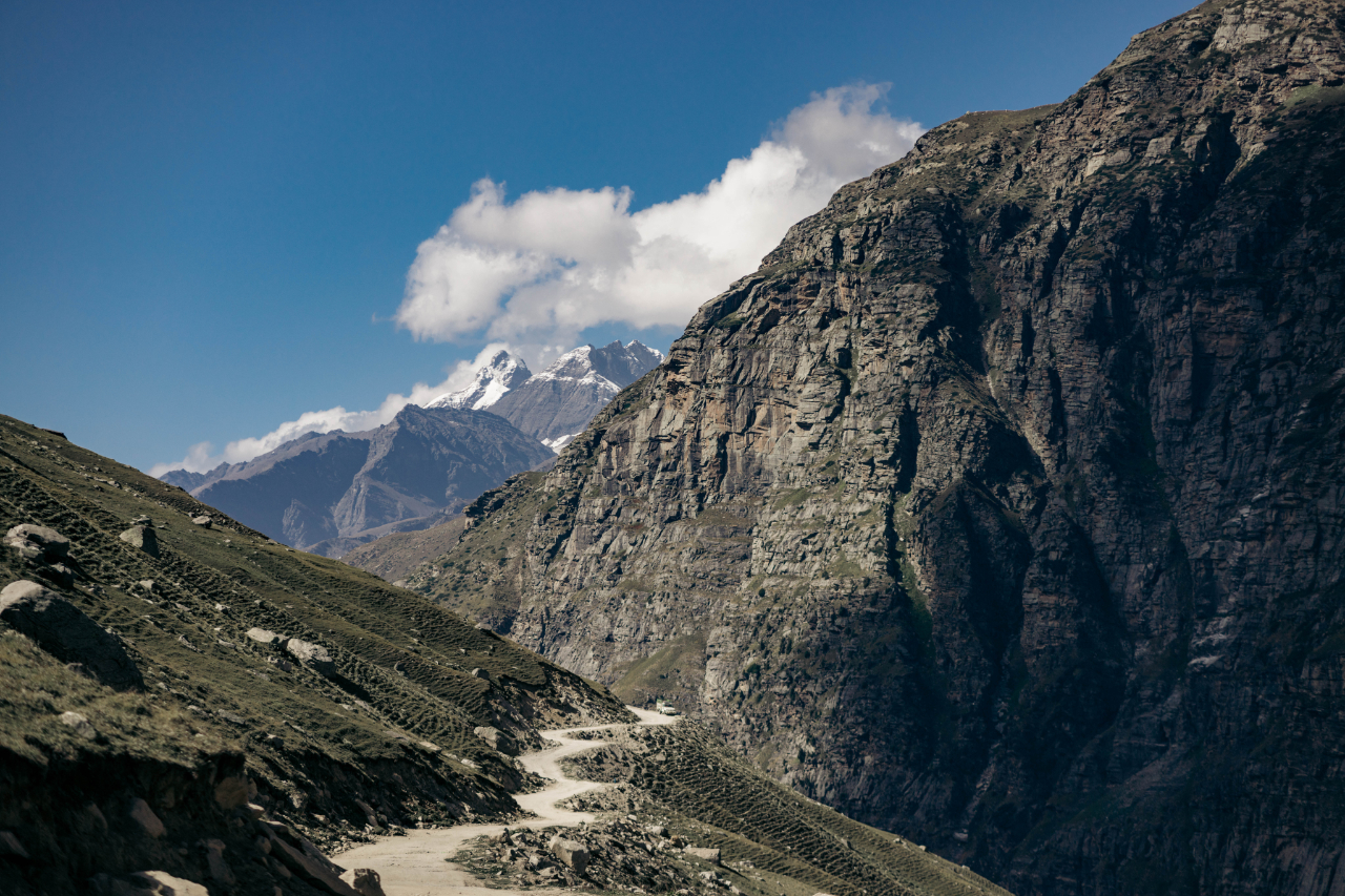
This stretch of road to get to Tabo was really mind-blowing, the road is also in excellent condition, good place to ride if you are not into off-roading.
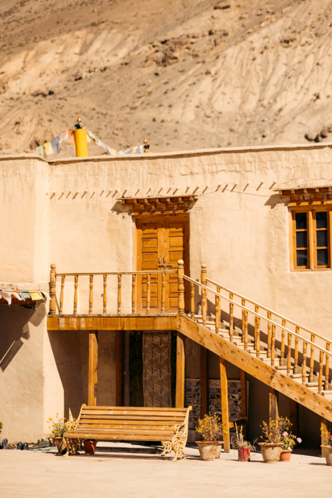
I decided to stay in Tabo for 2 nights to explore the area a little bit.
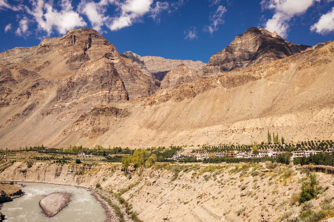
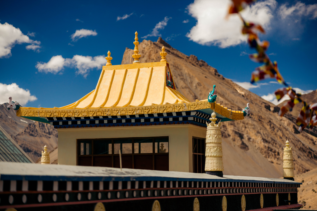
Tabo is a small town in the Lahaul and Spiti district on the banks of the Spiti River in Himachal Pradesh, India. The town lies on the road between Rekong Peo and Kaza, the sub-divisional headquarters of Spiti. The town surrounds a Buddhist monastery which, according to legend, is said to be over a thousand years old. The Dalai Lama has expressed his desire to retire to Tabo, since he maintains that the Tabo Monastery is one of the holiest. In 1996, the Dalai Lama conducted the Kalachakra initiation ceremony in Tabo, which coincided with the millennium anniversary celebrations of the Tabo monastery. The ceremony was attended by thousands of Buddhists from across the world. Tabo Monastery’s spiritual head is Tsenshap Serkong Rinpoche.”


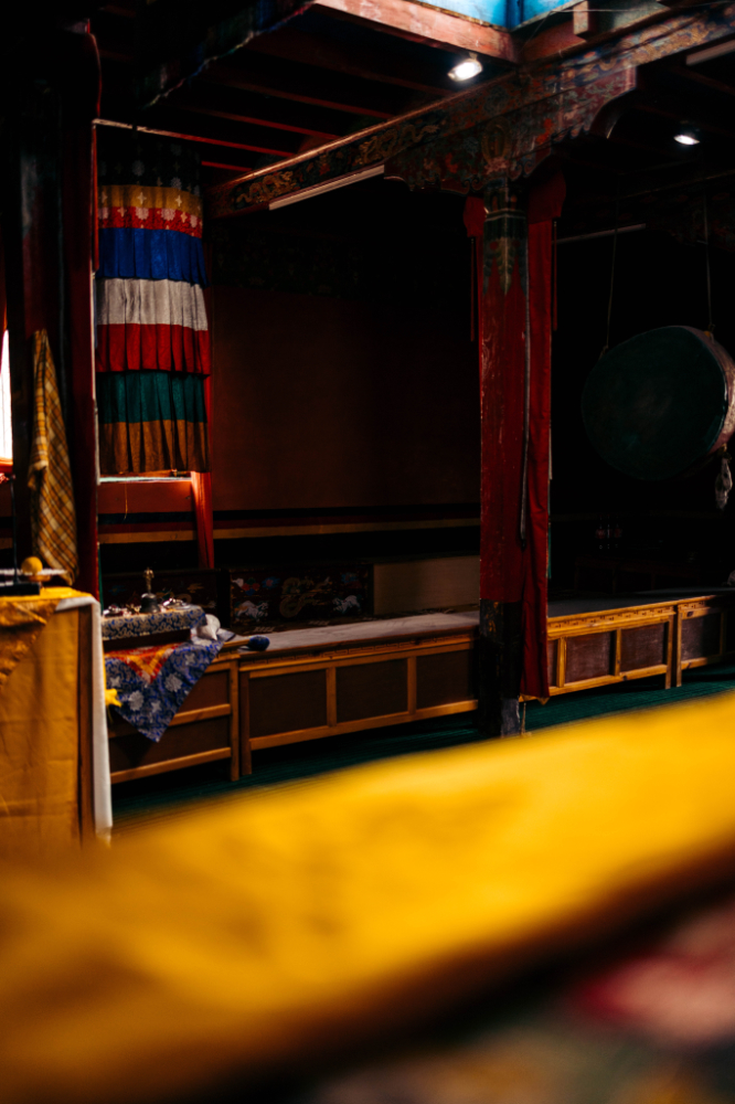
They do not allow photos inside the holiest part of the monastery, but there are plenty of photos on the internet.

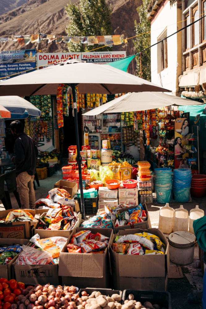
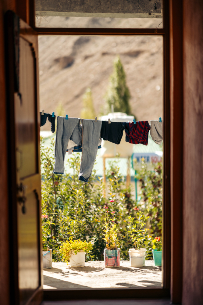
Life around the village is pretty normal for the area.

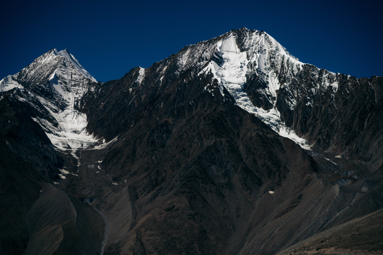
Surrounded by high peaks.


The spiti river.


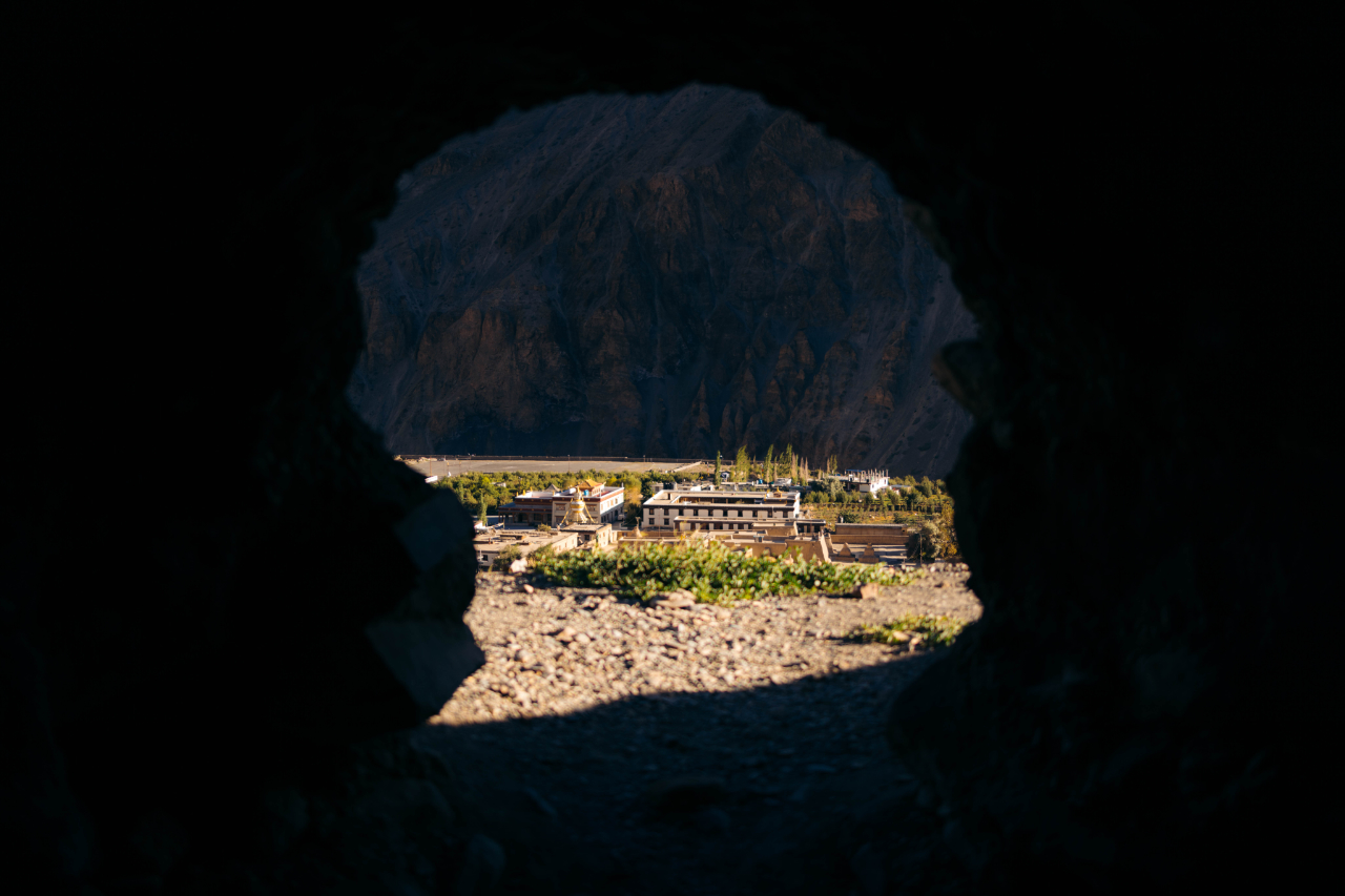
In the mountains surrounding the village there are caves and a small temple, the caves were using for hundreds of years as refuge from cold winter.

Unreal landscape.


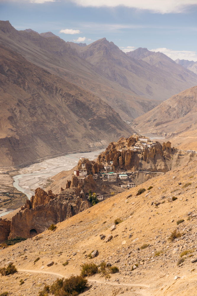
Tabo is beautiful, but time to get going, the clock is ticking. Next stop, Dhankar, another monastery village, this is perched in the mountains.
On the way there there’s more epic landscapes.

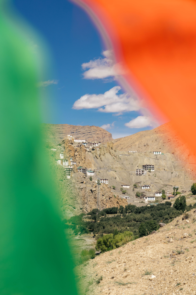
A peak at Dhankar between prayer flags, coincidently with India’s flag colors.


To think this was built here, hundreds of year ago is insane. It’s still isolated now, I can’t image how it was almost a thousand years ago.
Dhankar Gompa is a village and also a Gompa, a Buddhist temple. It is situated at an elevation of 3,894 metres in the Spiti Valley above Dhankar Village. The complex is built on a 300-metre high spur overlooking the confluence of the Spiti and Pin Rivers – one of the world’s most spectacular settings for a gompa. Dhang or dang means cliff, and kar or khar means fort. Hence Dhangkar means fort on a cliff.

This is almost at 4000 meters above sea level.

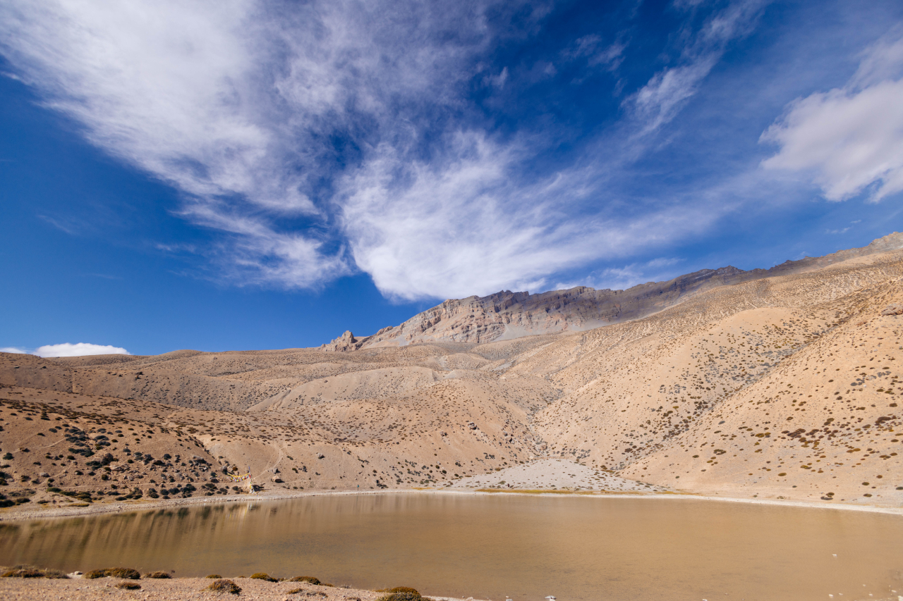
From a bit further away, when I took a little hike to a nearby lake.
You can’t feelr smaller than this, walking amonst this mountain really puts you in perspective.
The hike was not very long, but it was quite difficult to go from 3900 meters above sea level to 4100.
The lake itself was quite disappointing.
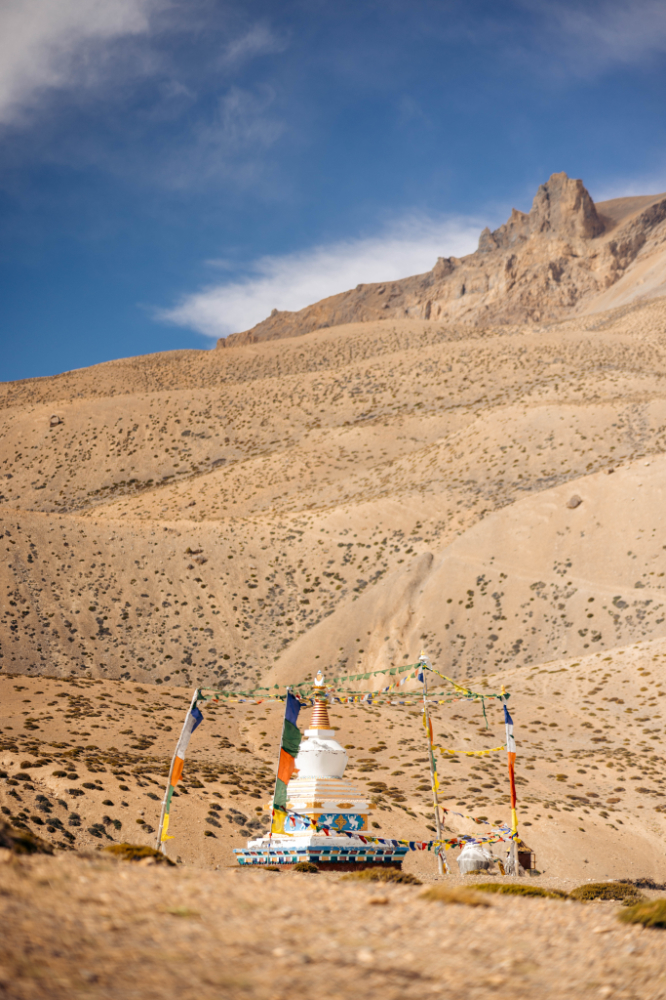
There’s also a small pagoda up there.
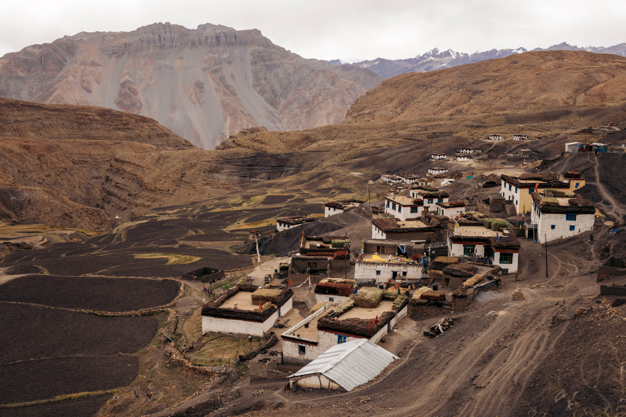
A more general view of the Dhankar village.
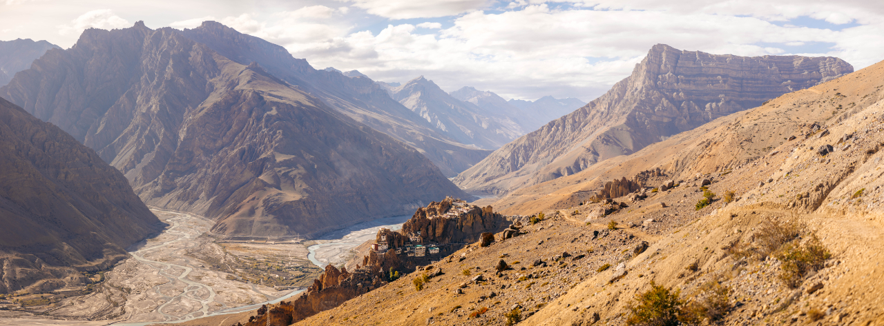
This yellow building is the new monastery.
And the oldest part is this building on the edge.

Believers keep walking around this building praying.


The way they are able to grow food in this region is impressive.

What a place!

You can visit the temple, but there are many parts that not open to the public.


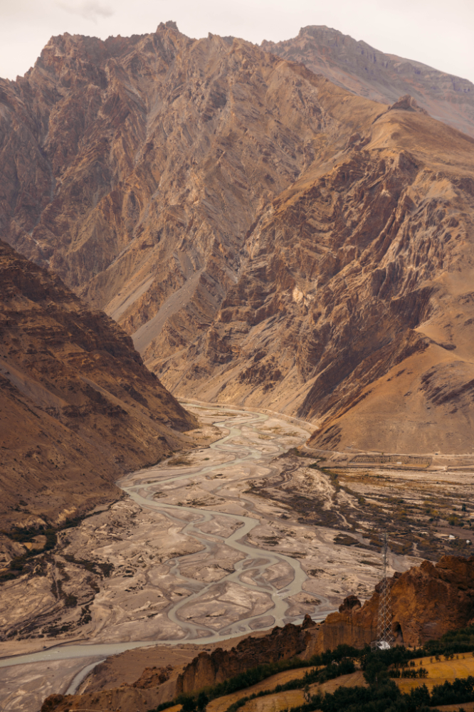
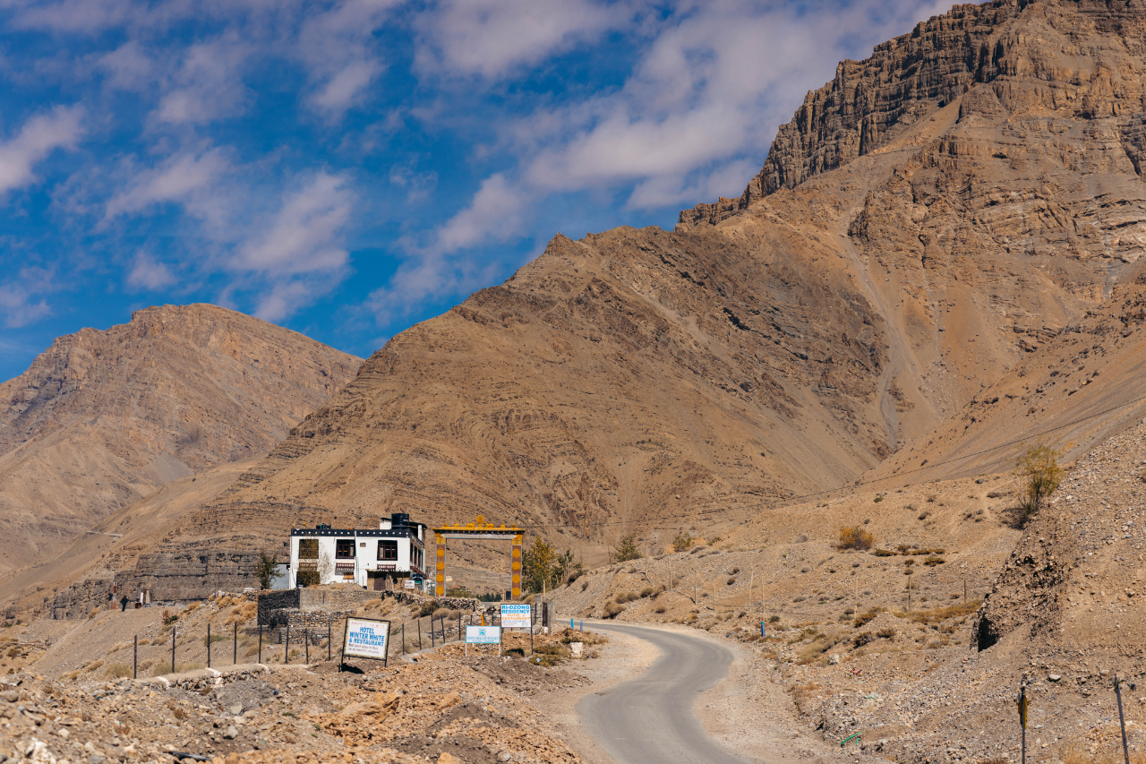
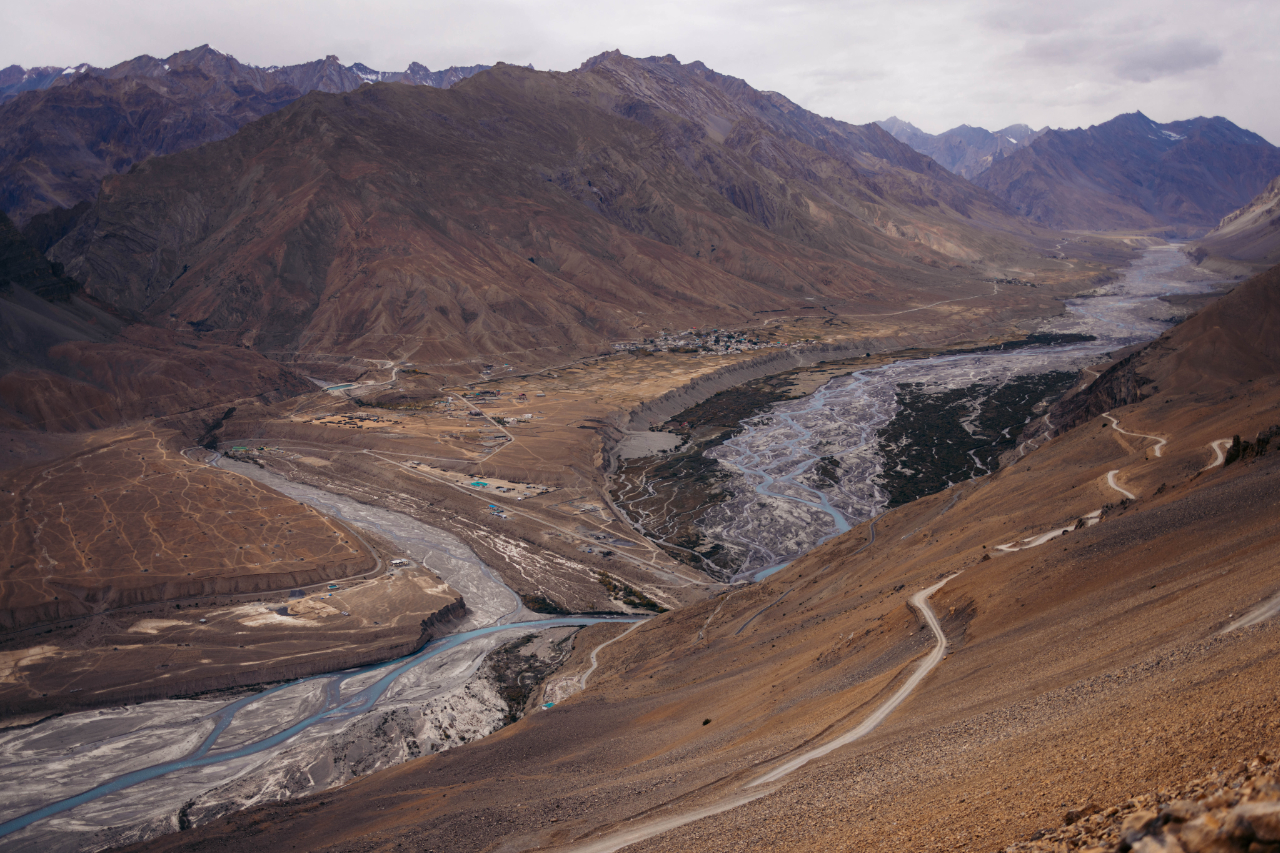
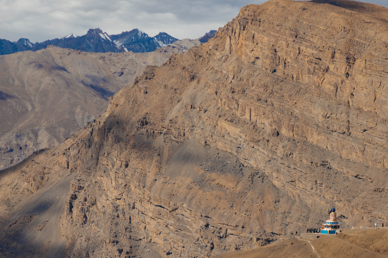
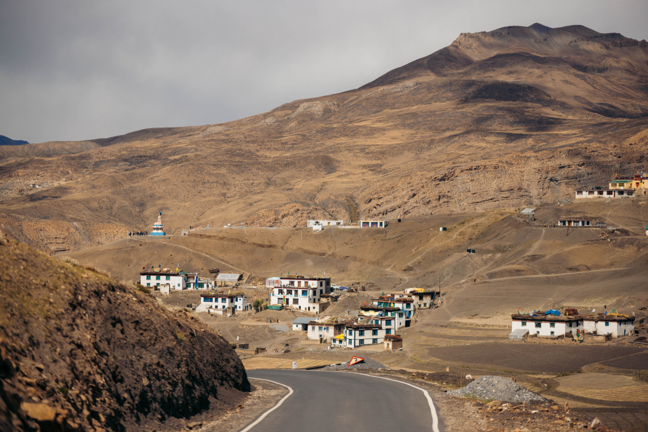
After visiting the main temple I headed out to the next town, Kaza, the “subdivisional headquarters” of the Spiti Valley.
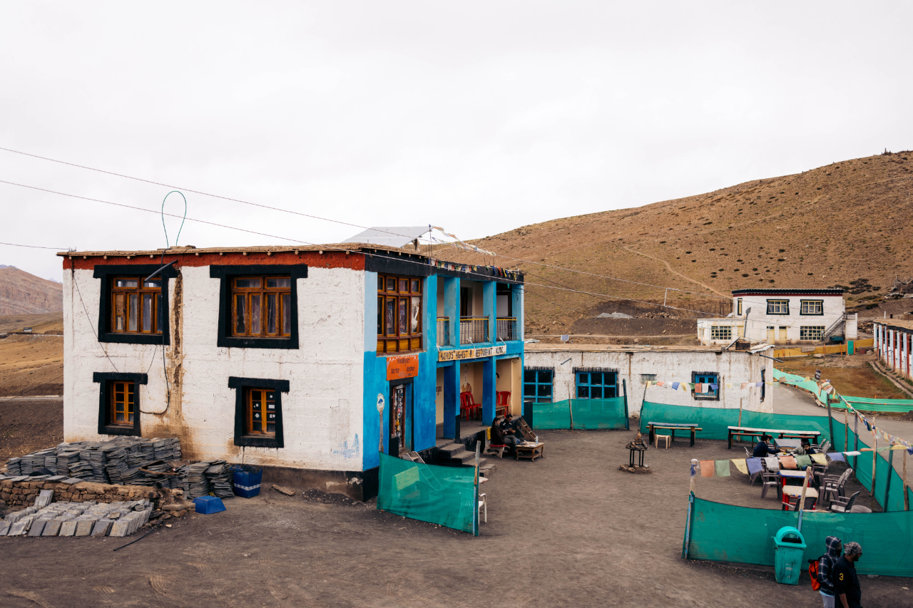
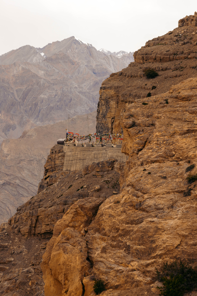
Just before reaching the town of Kaza, you encounter what is likely the most remote Royal Enfield service center in the world.
I did visit this service center the next day, my bike was shutting down randomly, turns out the ignition switch wiring was faulty but this place being so remote, they didn’t have any spare parts. The mecanich did help me with a quick fix but this will be an issue later on the trip.

Here’s some cellphone photos of the town of Kaza, I didn’t feel like taking my camera around town.


After the stop at the Royal Enfield service center, I went up to “the highest village in the world connected with a motorable road”, Komic at 4587 meters above sea level. Not sure how true this information is but it’s the village’s slogan.
Anwyay here are some photos along the way to get there.
You can see a truck in this image, for some size perspective.
Amazing roads, really in the middle of nowhere, not always reassuring when traveling solo but there is some people driving by from time to time if you get in a dicey situaton.
The first view of Komic.

Not really the most pretty place I saw on this trip but it’s like a rite of passage to come check this spot.
The main reason to come up here is probably the photo with this sign.

There’s a little cafe and a temple also.

Just a little lower there’s another village named Hikkim.

Pretty cool looking. Must look better when they grow veggies on those terraces.
This is also home to, they say, the highsest post office in the world.

On the way back to Kaza.
Part of Kaza viewed from the road coming down from Komic.

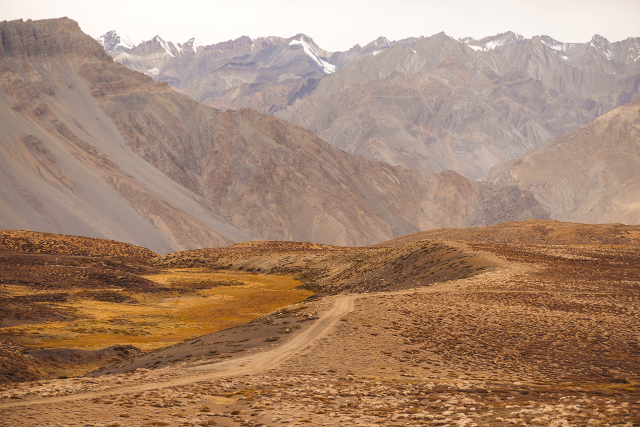
This valley…

I kept driving north a few minutes instead of returning to Kaza, to check a famous viewpoint of the valley in the area.
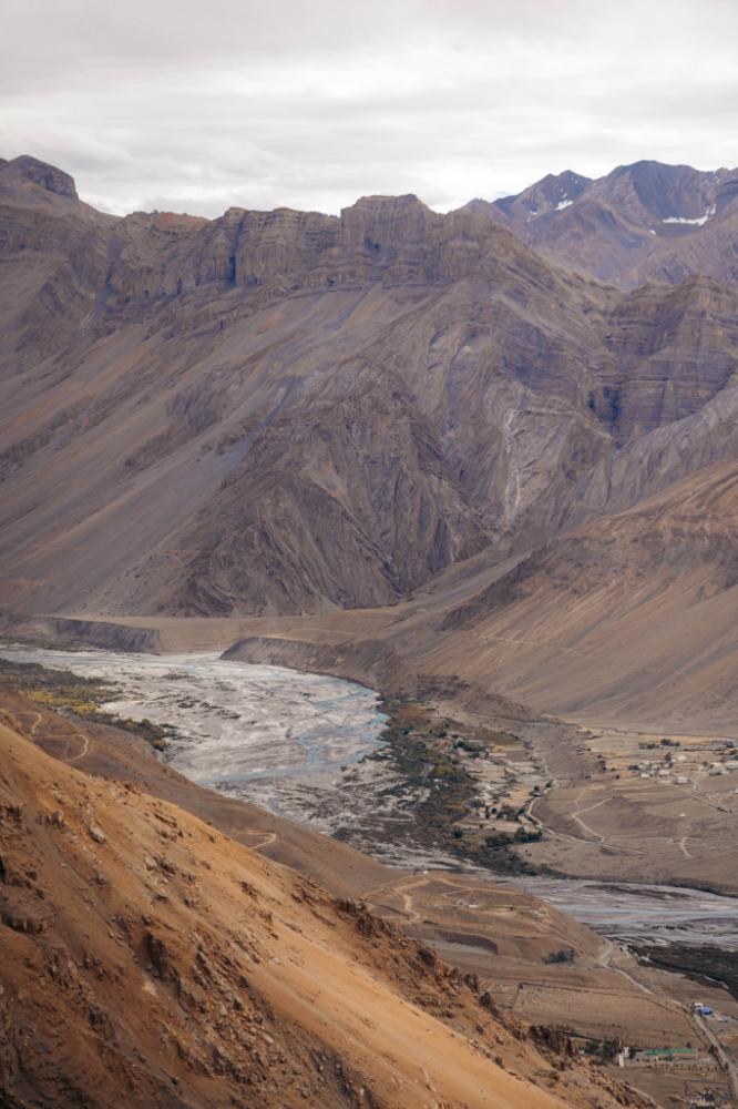
After 2 nights in Kaza, I kept riding north west. First stop is a village named Langza, where they have a giant buddha and again, amazing views.


This places get extremely isolated during winter, many people leave and go to the south of India to find work.
These beautiful road are mostly here for military reasons, not really to connect this small communities to the rest of the country.
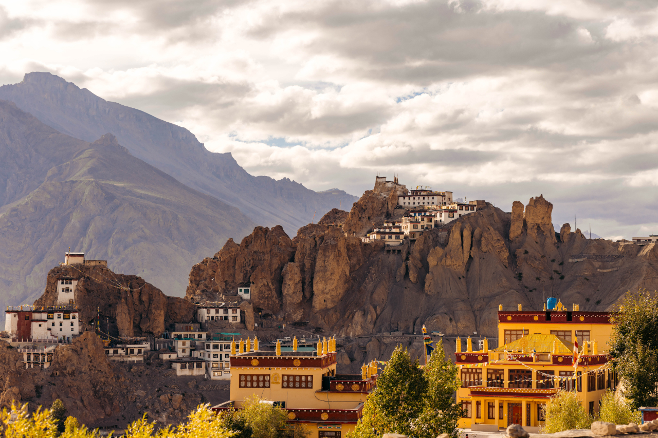
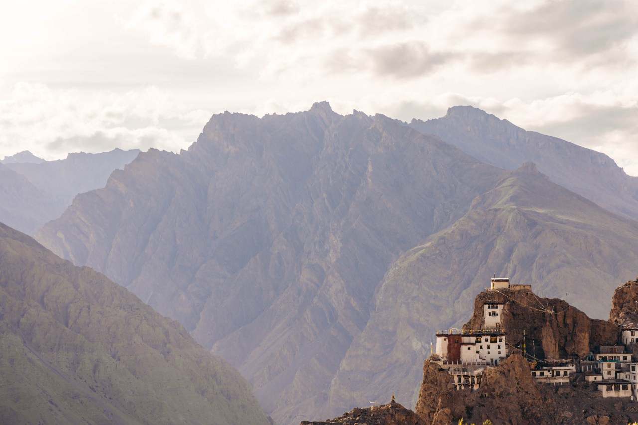
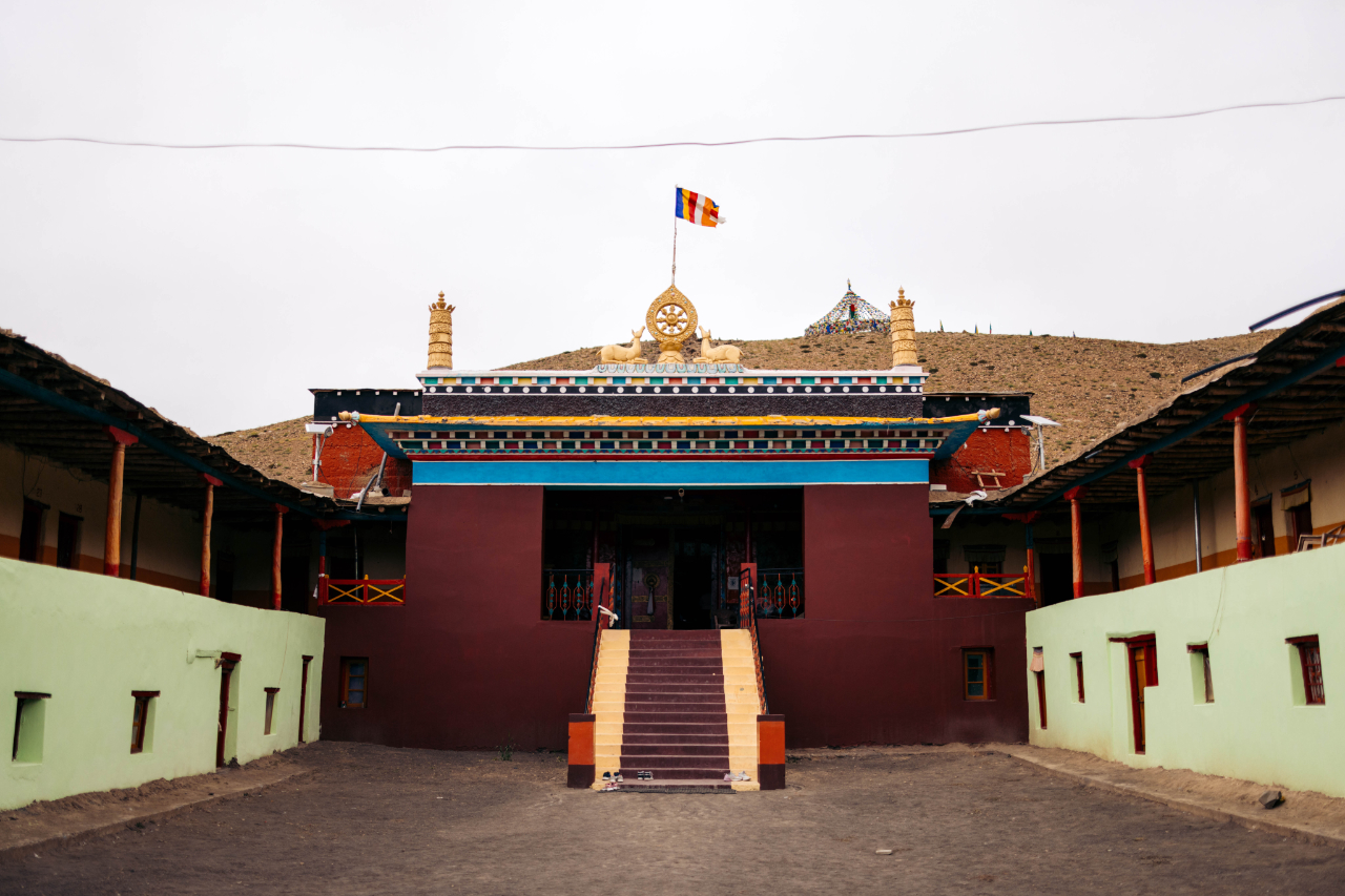
After this the next stop was another monastery, the Kee Monastery. Again unreal location on top of a peak. This is also more then a 1000 years old.
Kye Gompa also spelled Kyi, Ki, Key, or Kee; pronounced like the English word key, is a Tibetan Buddhist monastery of the Gelugpa sect located on top of a hill at an altitude of 4,166 metres above sea level, close to the Spiti River, in the Spiti Valley of Himachal Pradesh. It is the largest monastery of the Spiti Valley and a religious training centre for lamas.

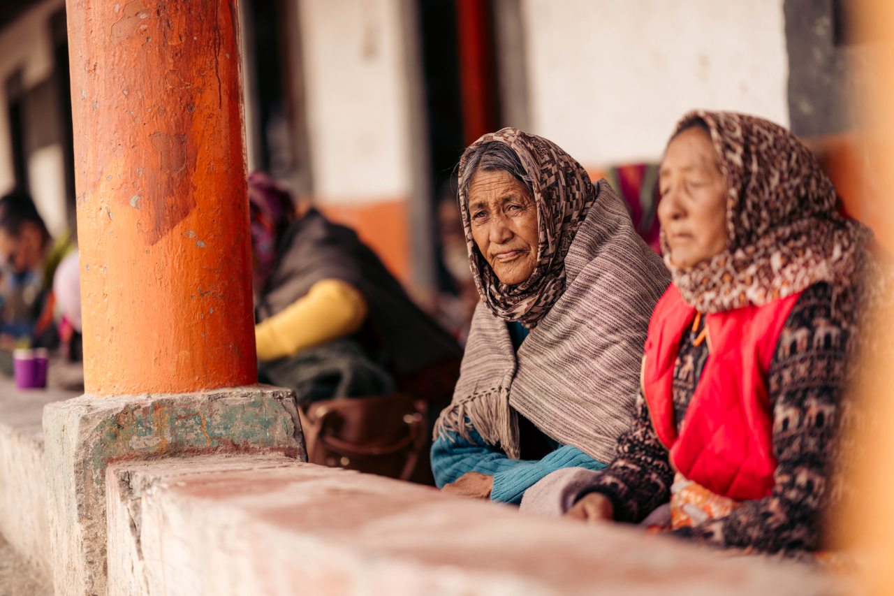
There was a big ceremony when I arrived. They were also giving out food to believers.
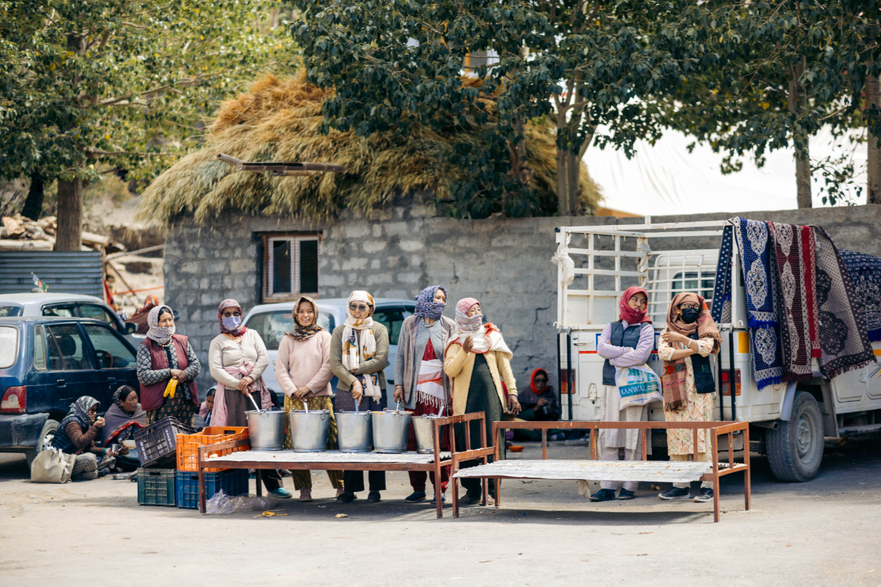

Some ladies were wearing some very beautiful traditional clothes for the ceremony.

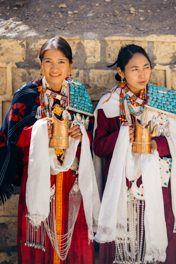
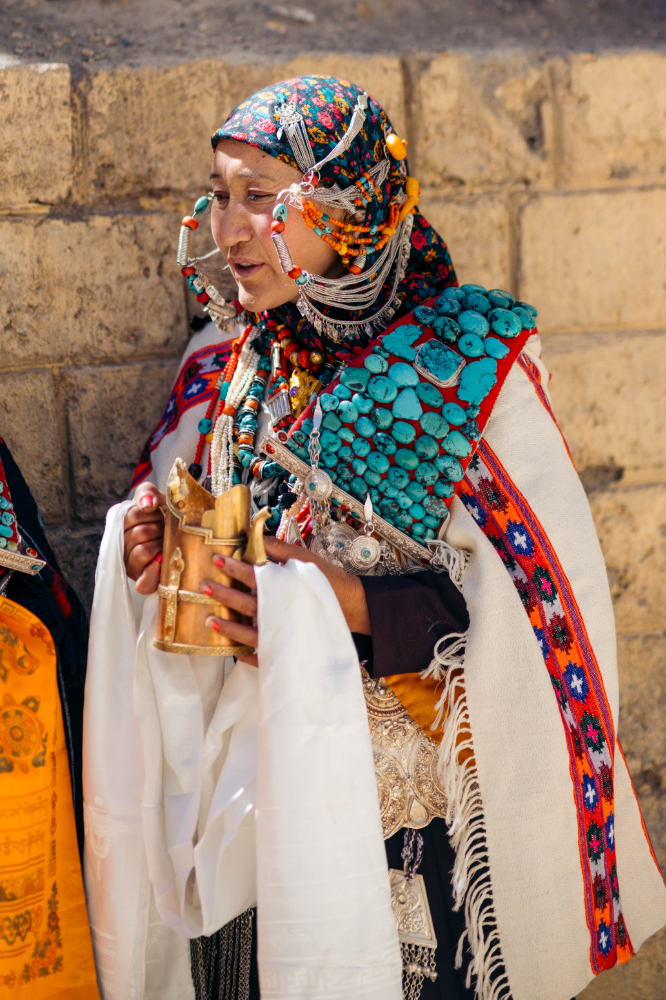
Many people came for this ceremony.

This man was the person they came to see and hear.

All age groups were present.


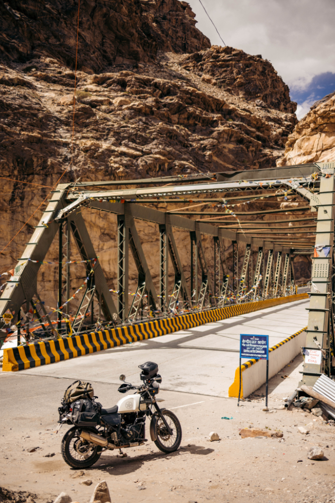
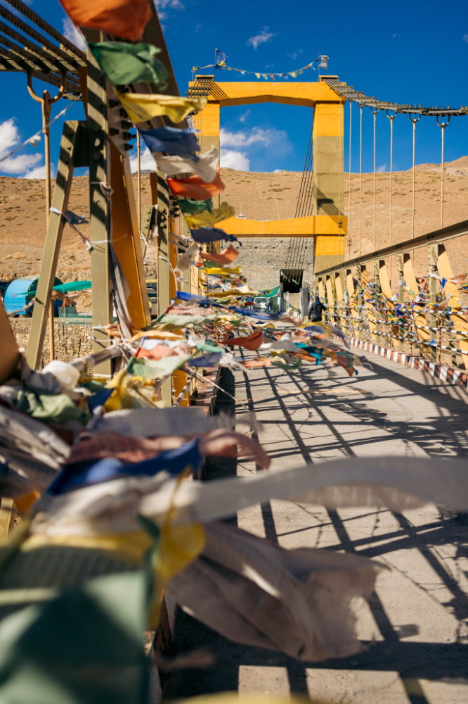
That was a very cool experience but I have to keep riding! Stopped to check out this bridge, very impressive. Chicham bridge.


At some point in the day I decided I would end the day in Chichong, a small village with a few places to sleep. I got lucky and right before reaching the village I came across an amazing scene and the light was perfectly hitting the area. The spot is here.


I’ll never forget this spot, just unreal, truly amazing.
After spending a night in Chichong, the plan for the next day was to visit Chandra Taal, a lake situated at an altitude of 4,300 meters above sea level. However, upon reaching the turnoff from the main road to the lake—approximately a 13 km, one-hour drive—I began to second-guess the idea. The cold weather, the late season, and the uncertainty about available accommodations led me to skip it, perhaps leaving myself a reason to return in the future.
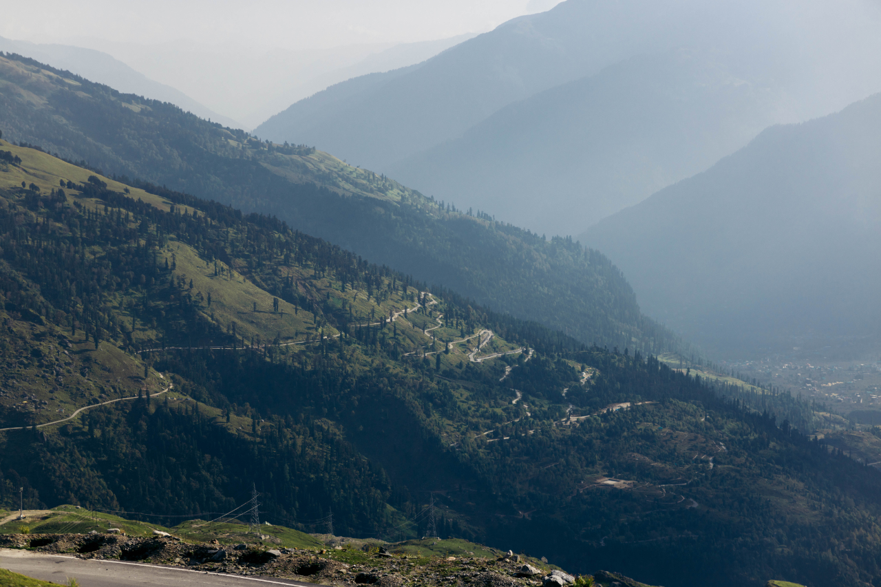
Google suggested the ride from Chichong to Manali would take about four hours, but reality proved quite different. The road was in poor condition, compounded by extensive construction work. It ended up taking me about 8–9 hours to reach Manali. Instead of using the tunnel, I opted for the longer and more scenic route over the famous Rohtang Pass.
Here are some images capturing the breathtaking landscapes between Chichong and the start of the Rohtang Pass.


Stopped for lunch, not a bad view to look at to relax and have a meal.


Filled up with food and ready to keep going.

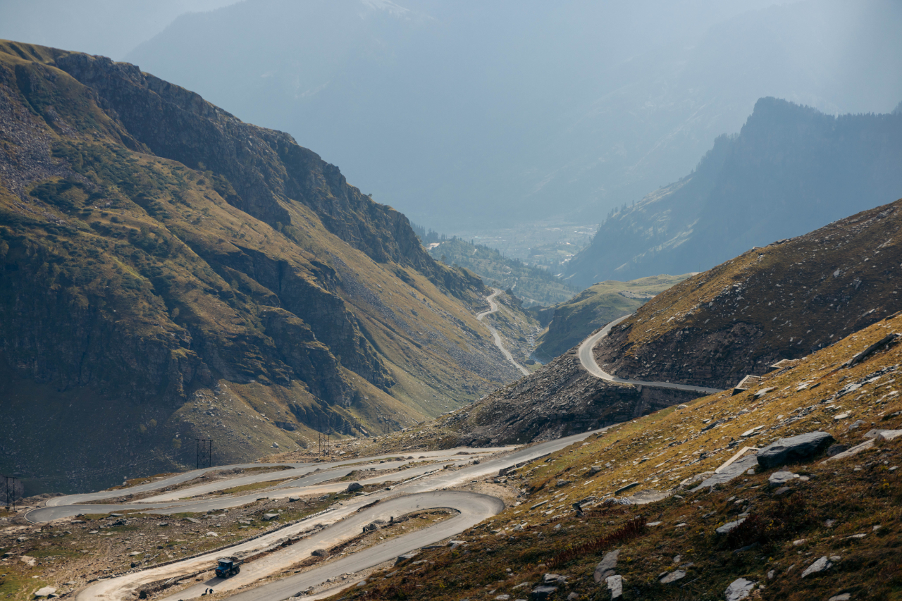
After 6-7 hours of gravel road, the brand new road of the Rohtang Pass was very welcomed.

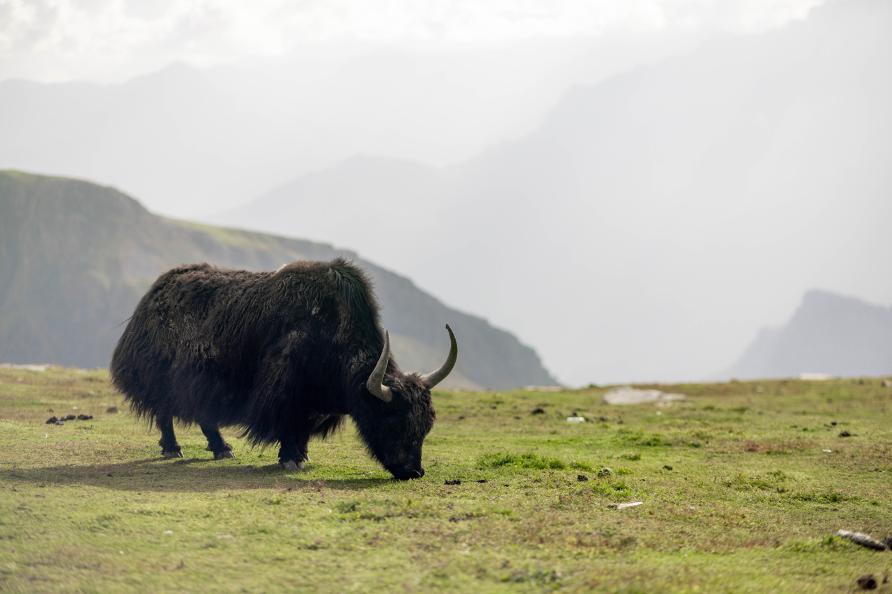
A very important animal to survive in these harsh conditions. The Yak.
This pass was very cool to ride on. Before reaching it, some people I met along the way were telling me the pass was closed, never trust people that are stuck in their village and have no idea what’s happening 5km away from them. Locals are not always right.

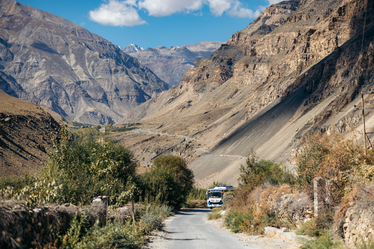
What a ride! Manali is a bigger city, it’s a “middle” point between the Spiti valley and the Ladakh area.
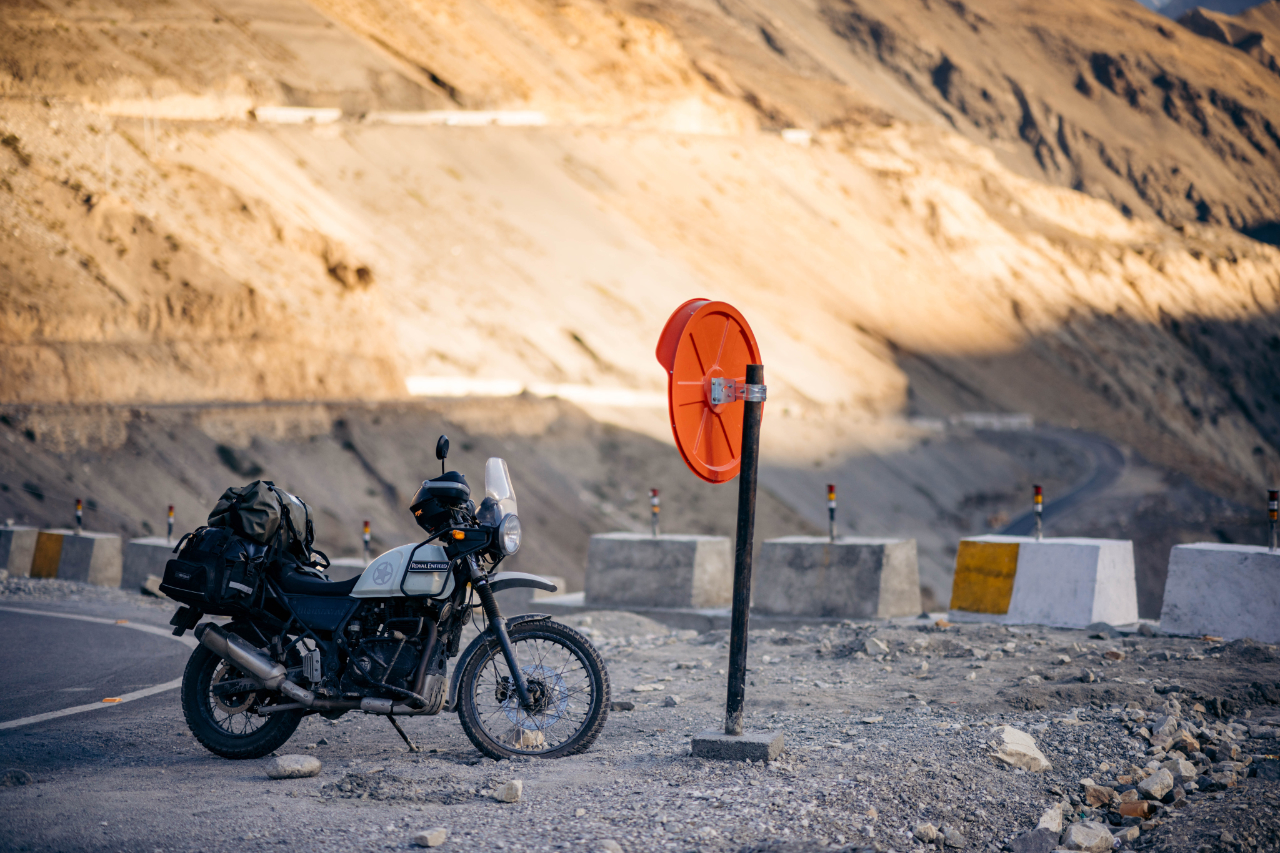
For me it was a moment to take care of some small issues on the motorycle and take a rest from riding.
This part of the ride, in a straight line, was about 1300km.
This is the end of the first part of the India trip. There’s a lot more to come. Stay tuned for the next part.
Thank you for looking and reading if you made this far!